Socioeconomic Data and Applications Center (
sedac
)
A Data Center in NASA's Earth Observing System Data and Information System (
EOSDIS
) — Hosted by
CIESIN
at
Columbia University
Search SEDAC
Data
Data Sets
Maps
Web Pages
search
Data
· Data Sets
· Data Collections
· Featured Data Uses
· Data Citations
· Citations Database
· Data Submission
Maps
· Map Gallery
· Map Viewer
· Map Services
· Mapping Tools
Themes
· Agriculture
· Climate
· Conservation
· Governance
· Hazards
· Health
· Infrastructure
· Land Use
· Marine and Coastal
· Population
· Poverty
· Remote Sensing
· Sustainability
· Urban
· Water
Resources
· Guides
· Multimedia
· Networks
· News
· Publications
· Related Sites
· Remote Sensing
· Tools
Social Media
· Twitter
· FaceBook
· YouTube
· Flickr
· Blog Posts
· Communities
About
· About SEDAC
· User Working Group
· Privacy
· User Registration
Help
Global Rural-Urban Mapping Project
(
GRUMP
)
, v1
Follow Us:
Twitter
Follow Us on Facebook
YouTube
Flickr
| Share:
Twitter
Facebook
Collection Overview
Methods
Data Sets
(10)
Map Gallery
(716)
Search
All Fields:
search
Theme
Population
(168)
Sustainability
(168)
Urban
(168)
Location
Select a Location...
algeria
(3)
angola
(3)
benin
(3)
botswana
(3)
burkina faso
(3)
burundi
(3)
cameroon
(3)
central african republic
(3)
chad
(3)
comoros
(3)
congo
(3)
cote d'ivoire
(3)
democratic republic of the congo
(3)
djibouti
(3)
egypt
(3)
equatorial guinea
(3)
eritrea
(3)
ethiopia
(3)
gabon
(3)
gambia
(3)
ghana
(3)
guinea
(3)
guinea-bissau
(3)
kenya
(3)
lesotho
(3)
liberia
(3)
libya
(3)
madagascar
(3)
malawi
(3)
mali
(3)
mauritania
(3)
mauritius
(3)
mayotte
(3)
morocco
(3)
mozambique
(3)
namibia
(3)
niger
(3)
nigeria
(3)
reunion
(3)
rwanda
(3)
saint helena
(3)
sao tome and principe
(3)
senegal
(3)
seychelles
(3)
sierra leone
(3)
somalia
(3)
south africa
(3)
sudan
(3)
swaziland
(3)
togo
(3)
tunisia
(3)
uganda
(3)
united republic of tanzania
(3)
zambia
(3)
zimbabwe
(3)
go
Map Services
(10)
Citations
FAQs
GPW and GRUMP
Acknowledgments
SEDAC Hazards Mapper
Data Sets
»
Region: Africa
Remove Facet
4 of 6
Prev
|
Next
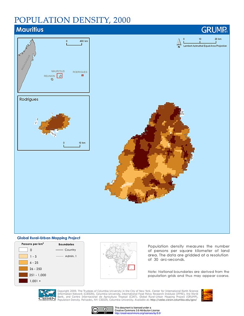
Population Density (2000): Mauritius
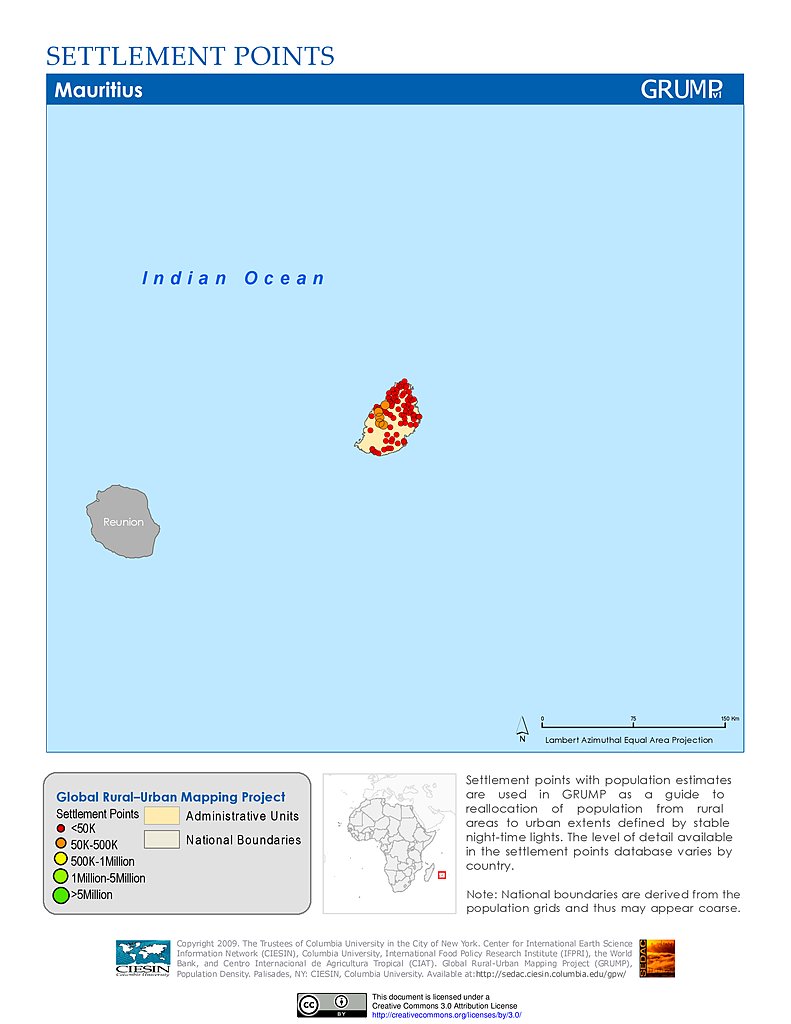
Settlement Points: Mauritius
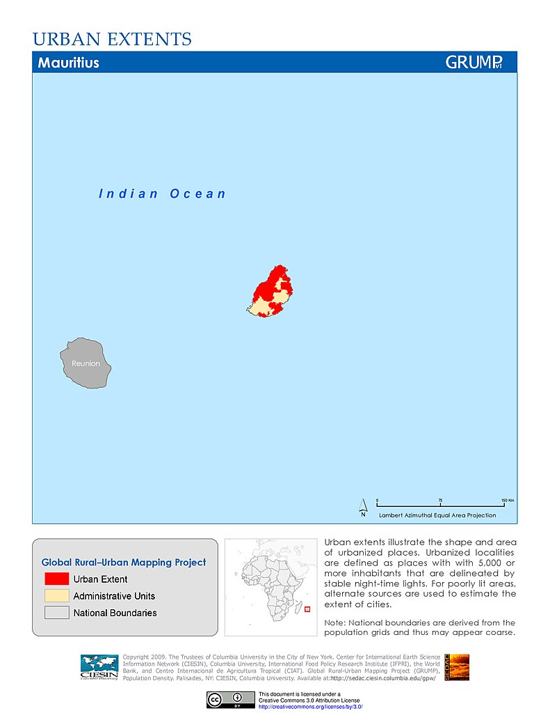
Urban Extents: Mauritius
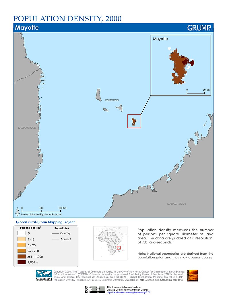
Population Density (2000): Mayotte
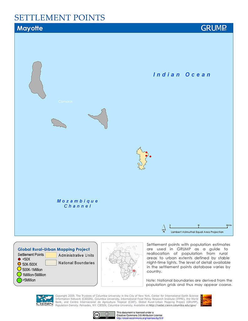
Settlement Points: Mayotte
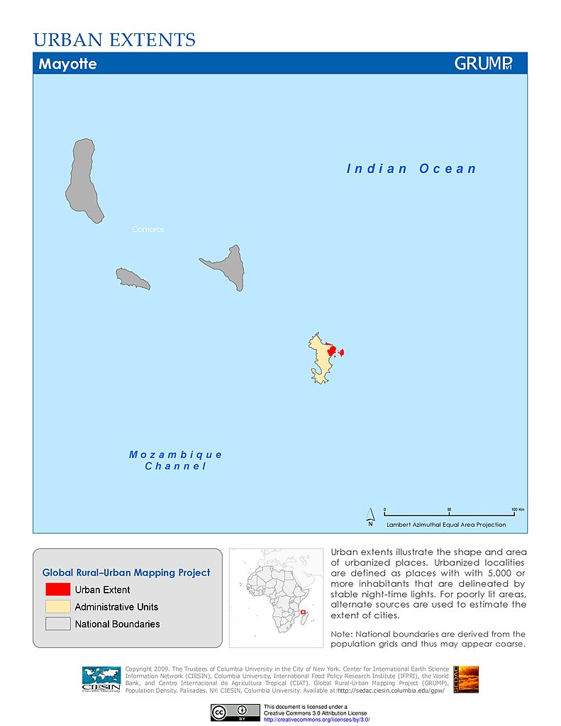
Urban Extents: Mayotte
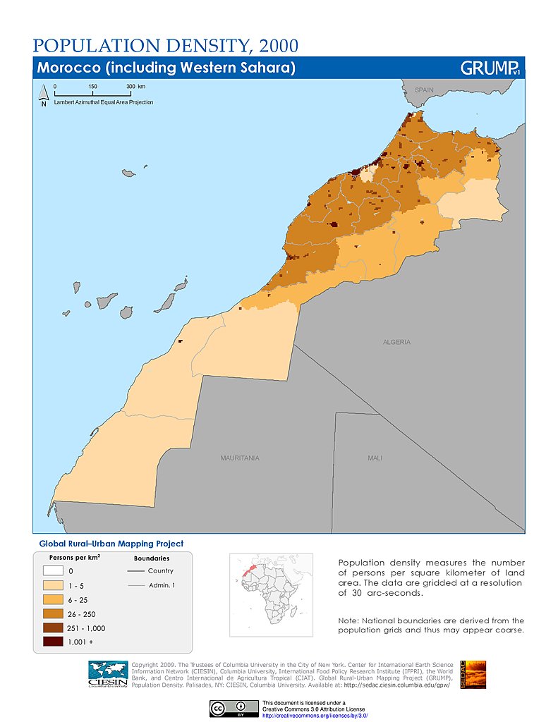
Population Density (2000): Morocco
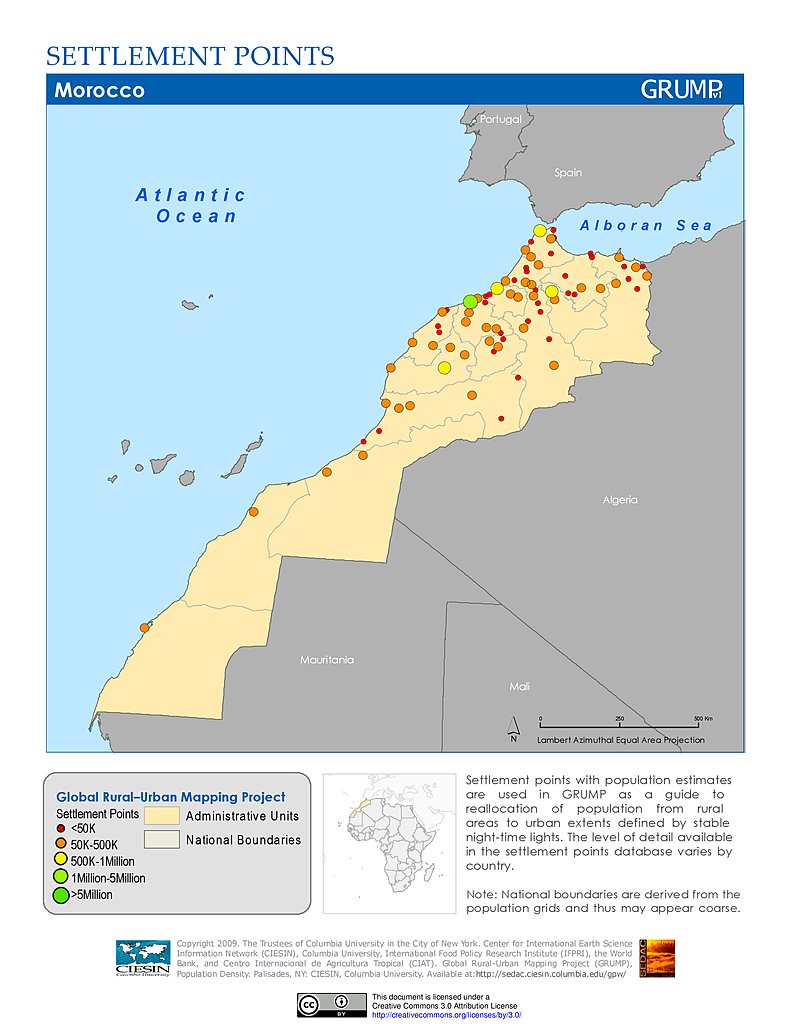
Settlement Points: Morocco
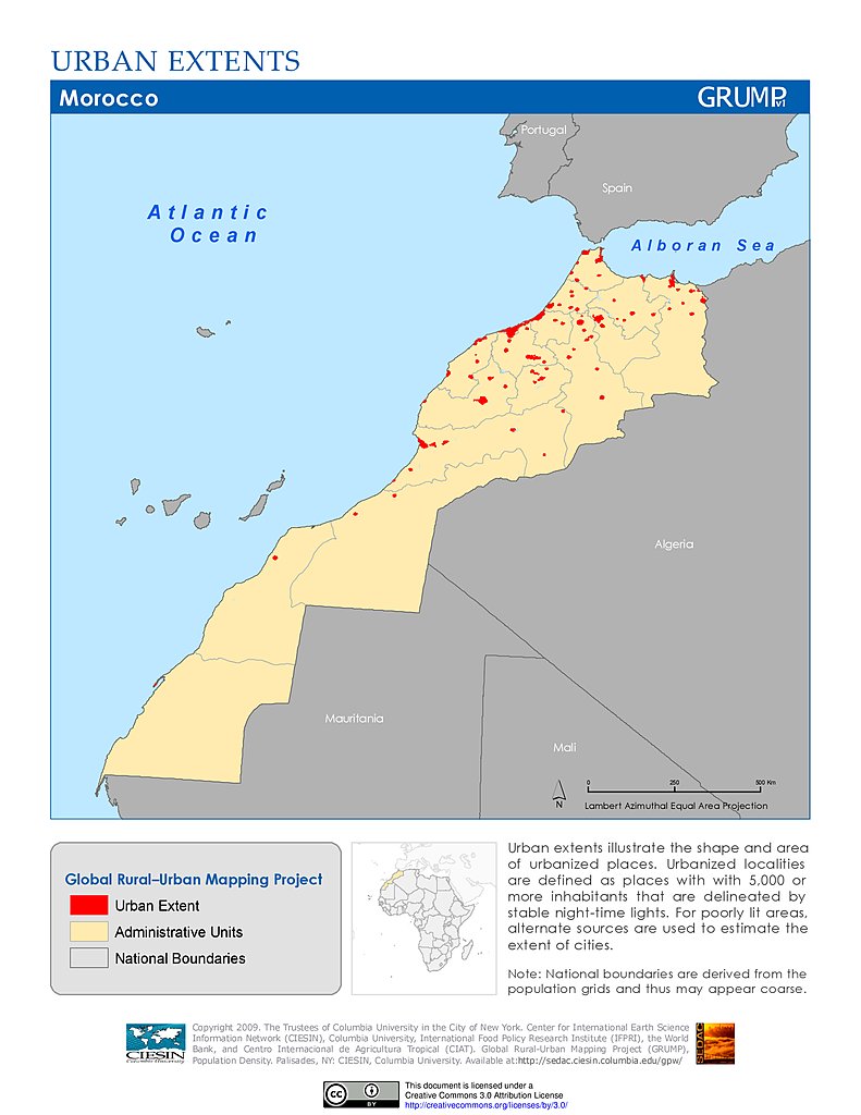
Urban Extents: Morocco
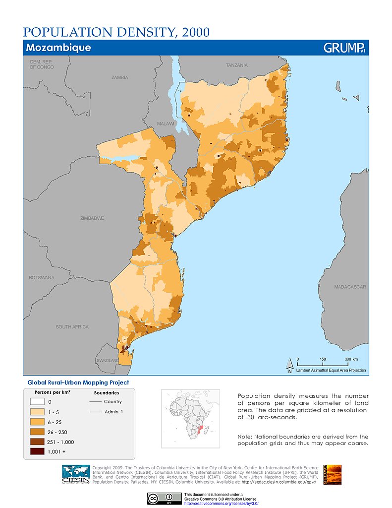
Population Density (2000): Mozambique
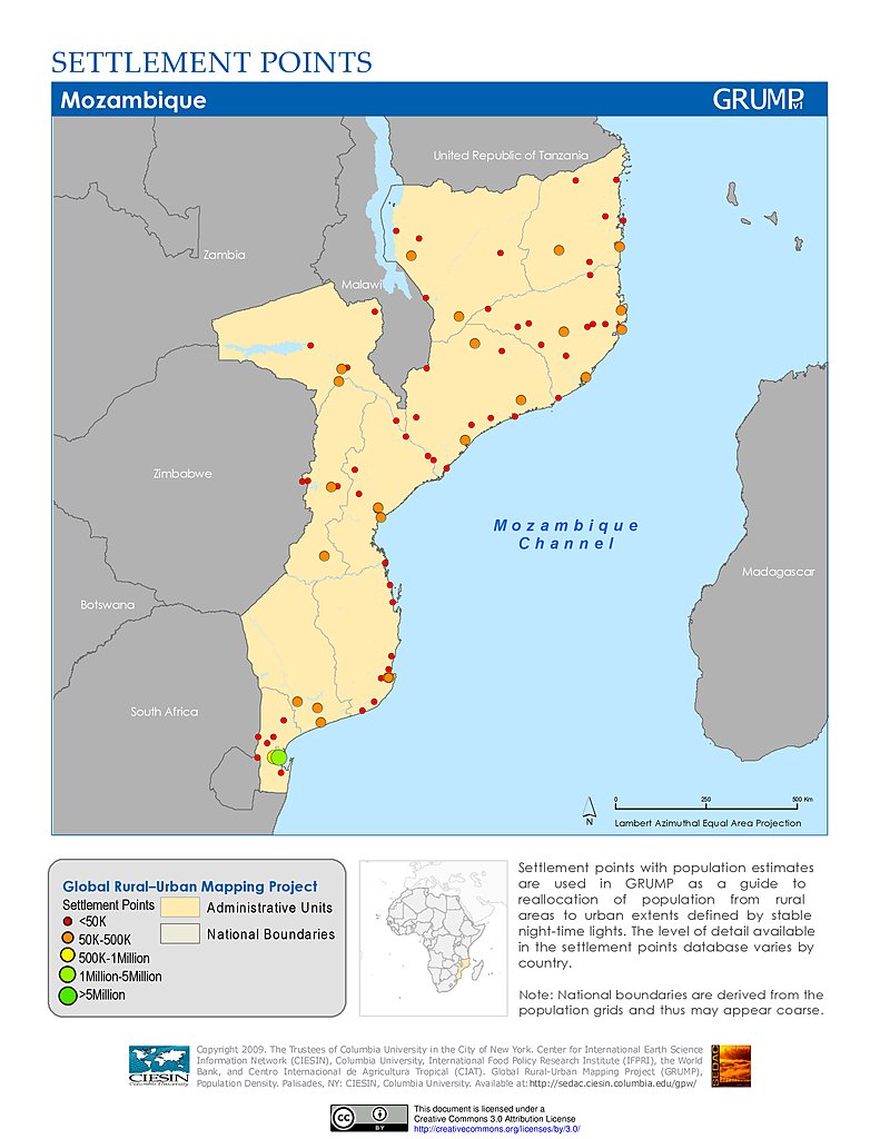
Settlement Points: Mozambique
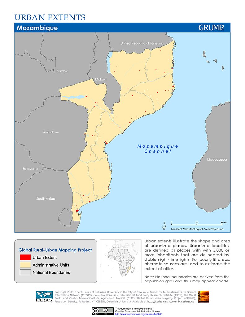
Urban Extents: Mozambique
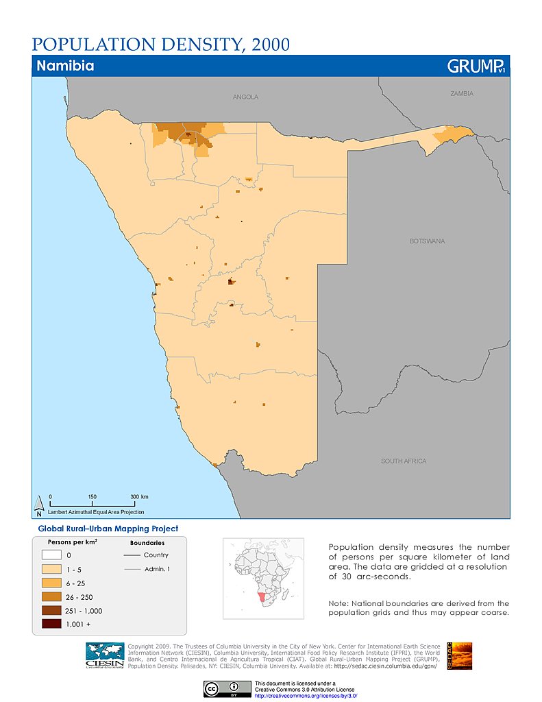
Population Density (2000): Namibia
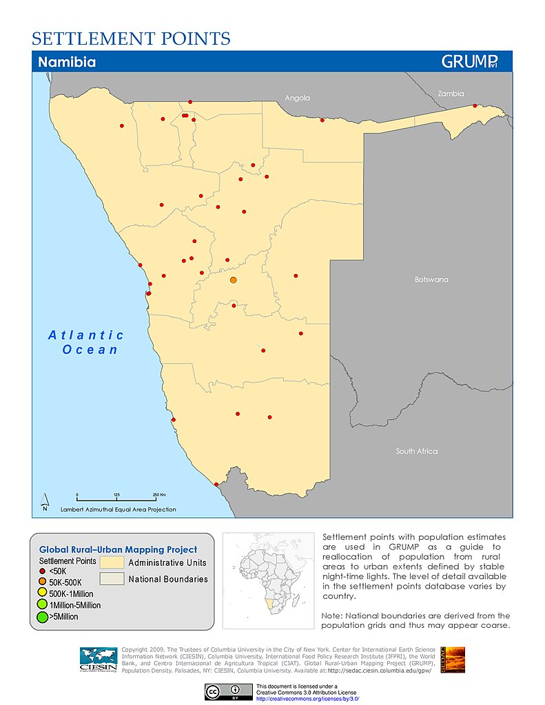
Settlement Points: Namibia
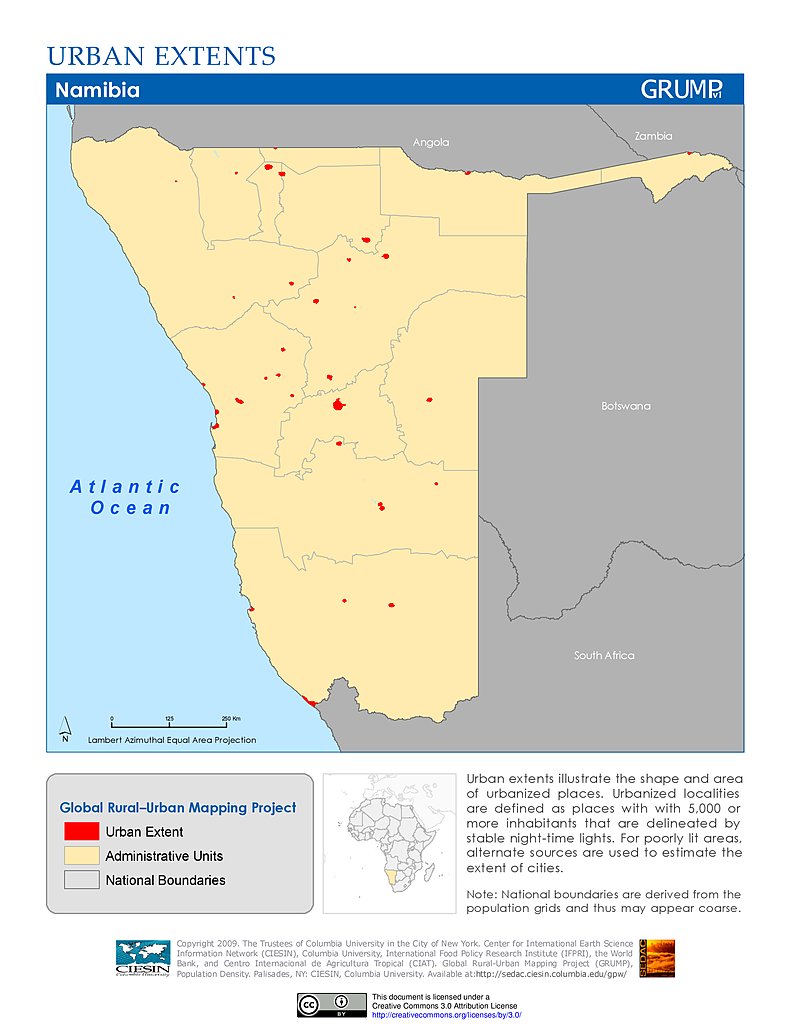
Urban Extents: Namibia
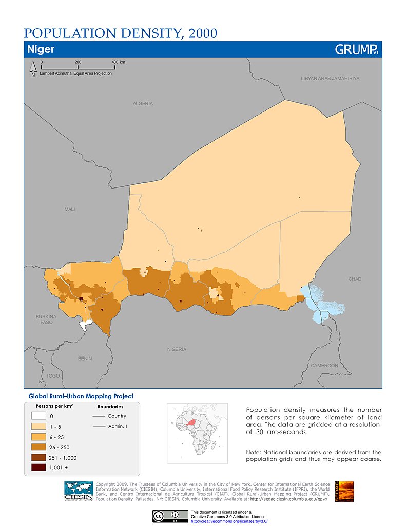
Population Density (2000): Niger
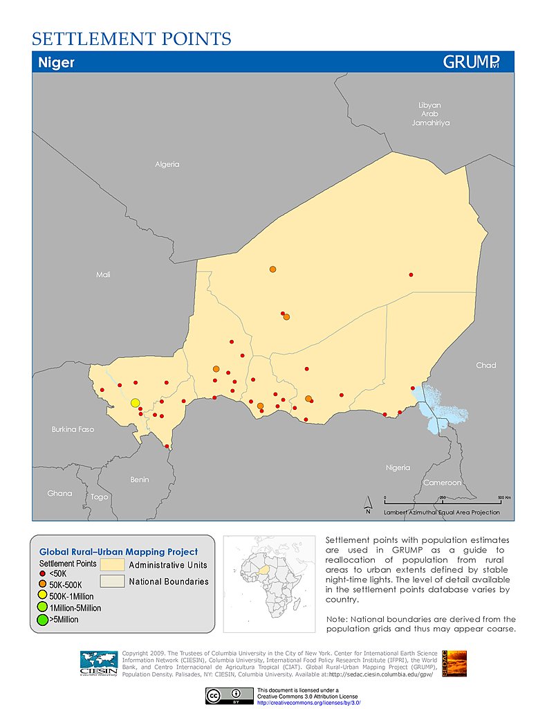
Settlement Points: Niger
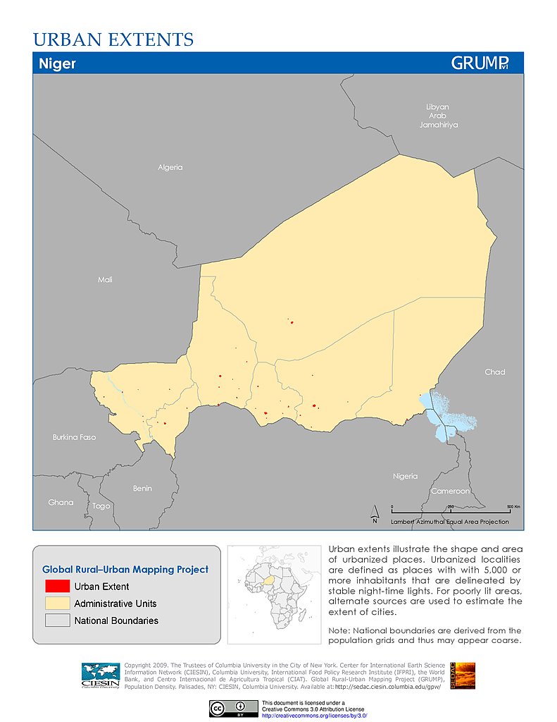
Urban Extents: Niger
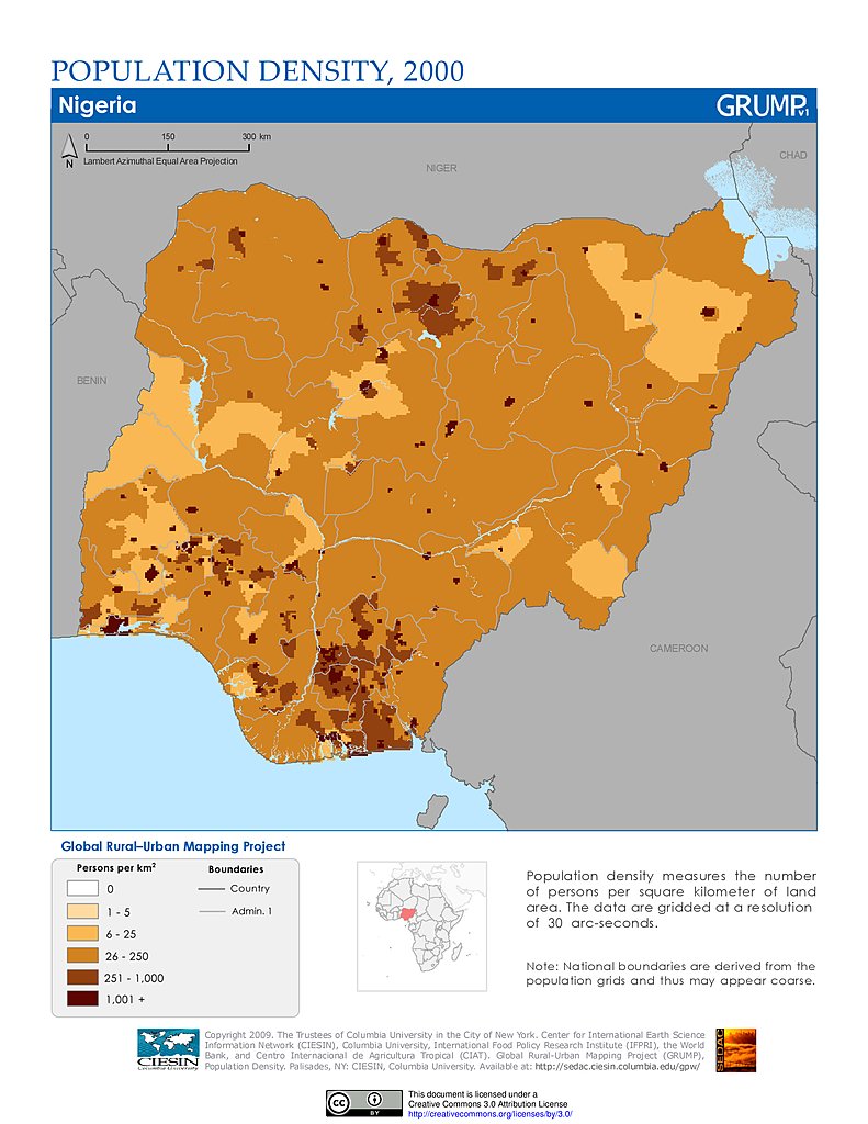
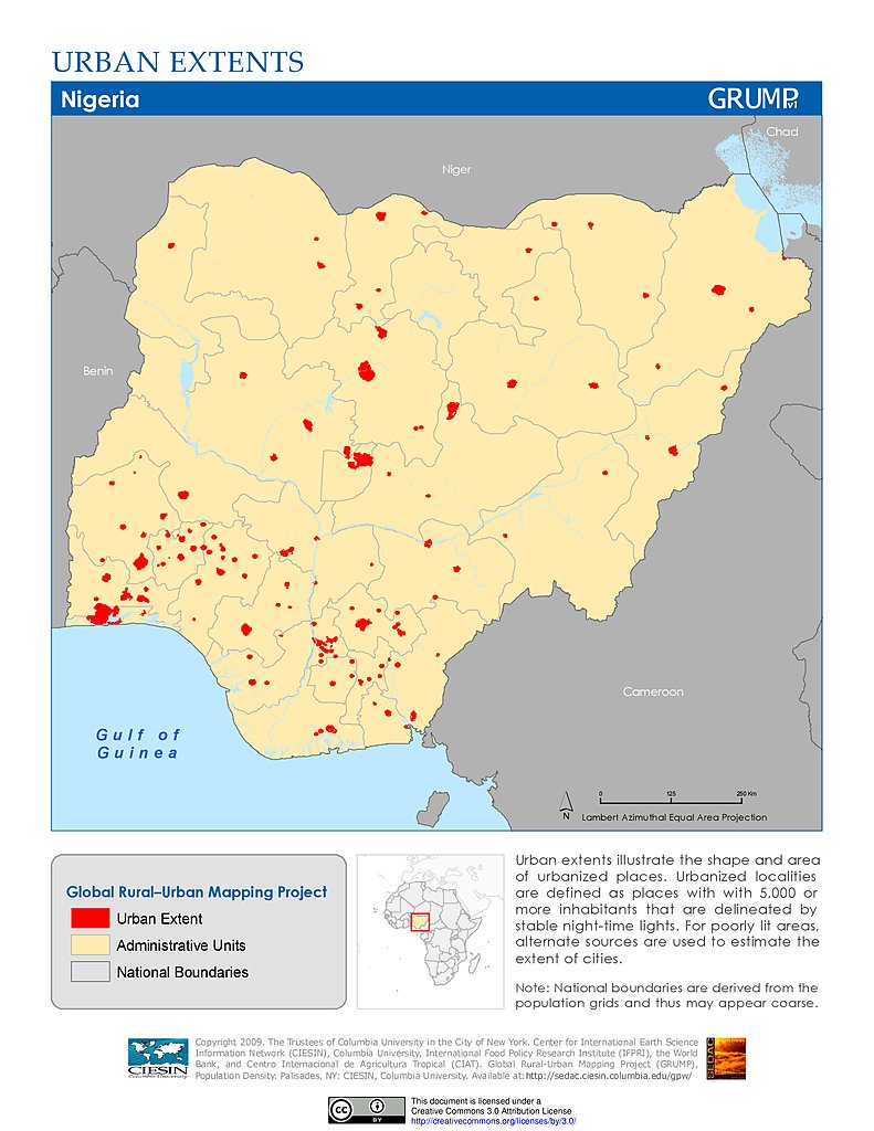
Population Density (2000): Nigeria
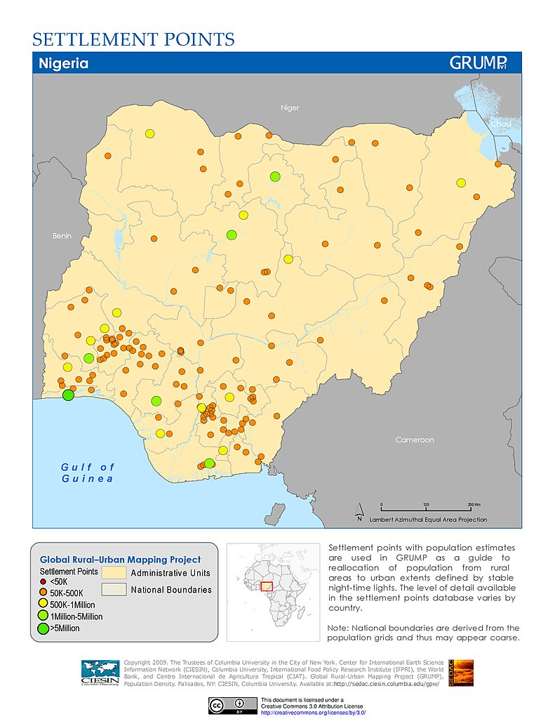
Settlement Points: Nigeria
Urban Extents: Nigeria
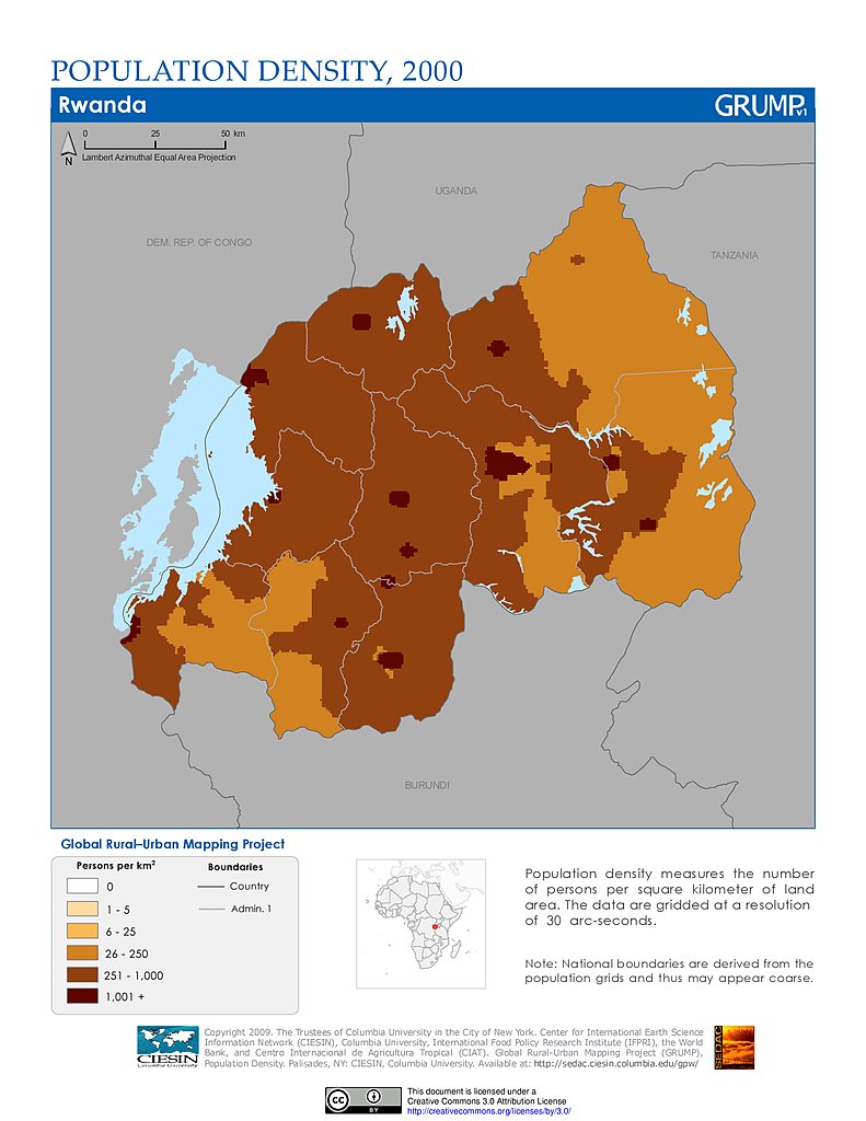
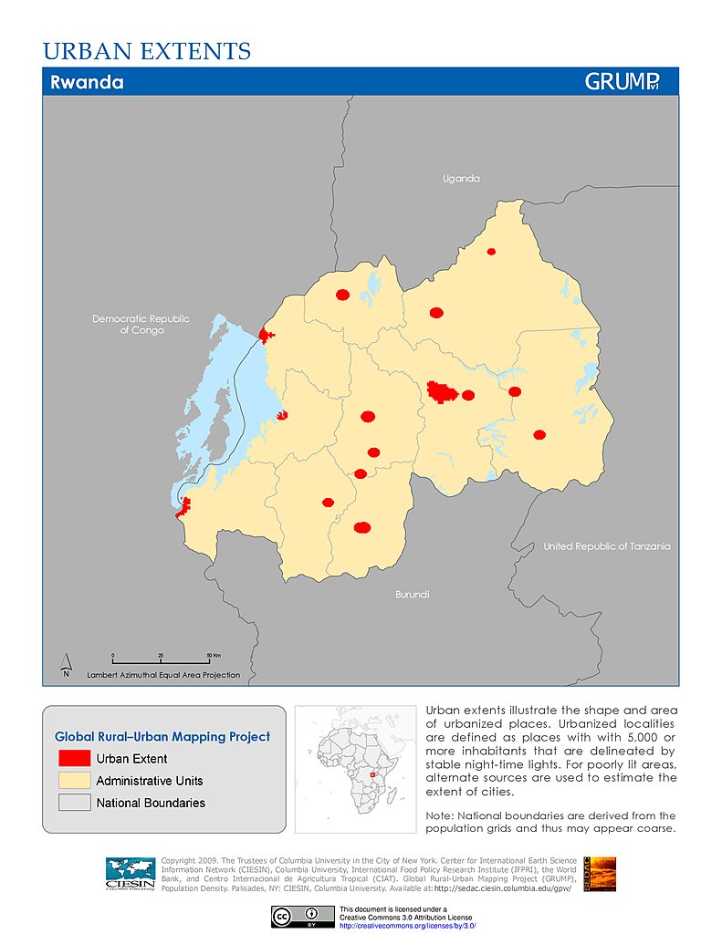
Population Density (2000): Rwanda
Settlement Points: Rwanda
Urban Extents: Rwanda
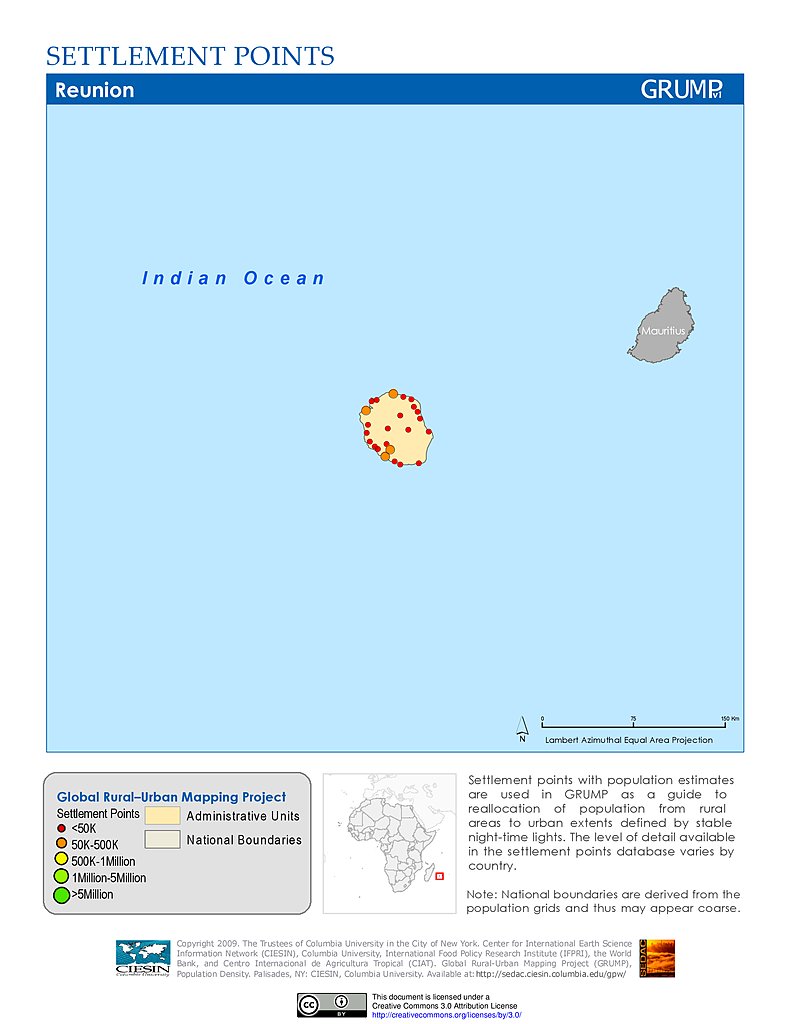
Population Density (2000): Réunion
Settlement Points: Réunion
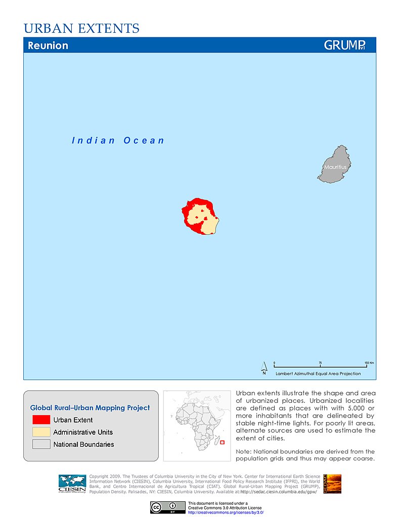
Urban Extents: Réunion
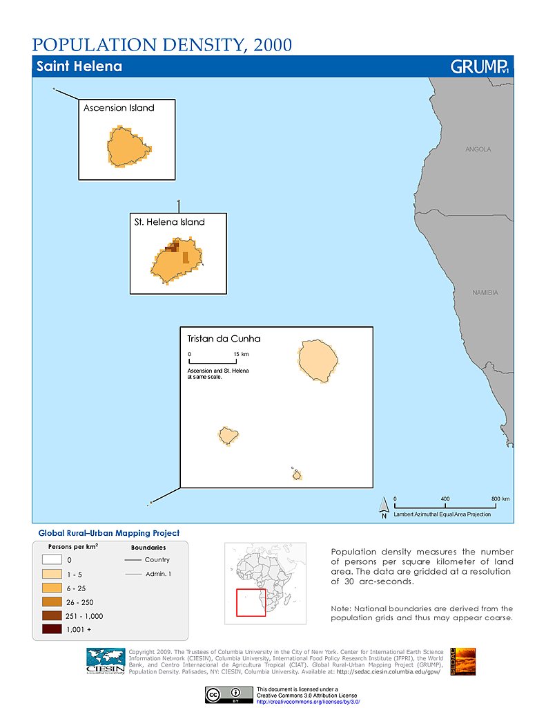
Population Density (2000): St. Helena
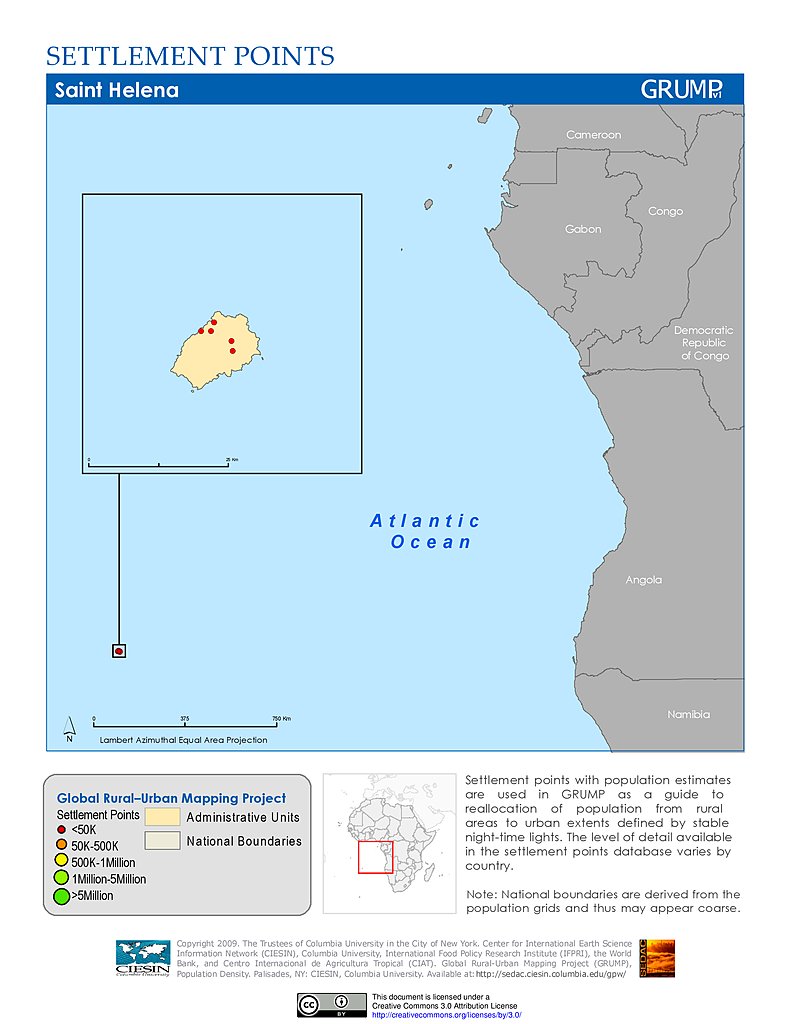
Settlement Points: St. Helena
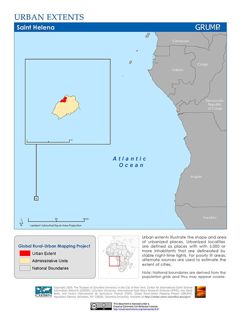
Urban Extents: St. Helena
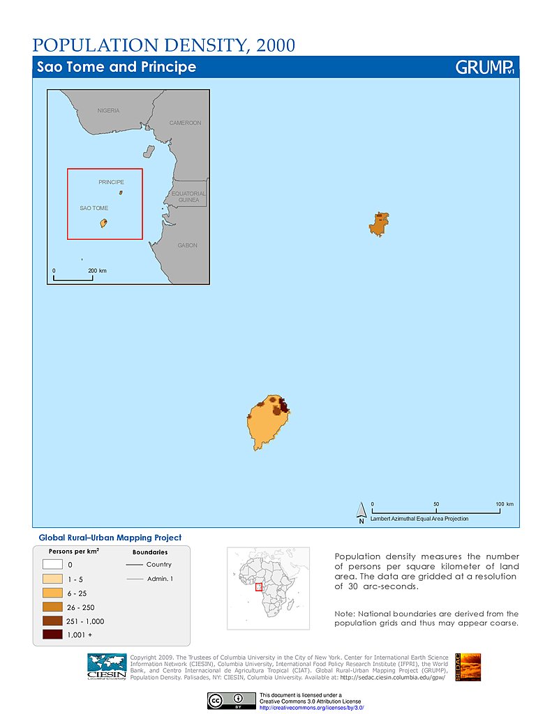
Population Density (2000): Sao Tome & Principe
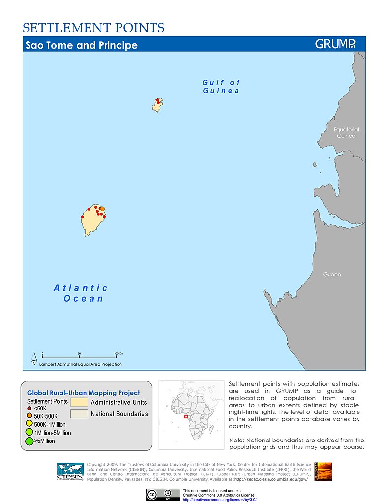
Settlement Points: Sao Tome & Principe
Data Sets
»
Region: Africa
Remove Facet
4 of 6
Prev
|
Next