World Summary --- India |
Summary information |
| Names | |
| ISO3-Code |
IND
|
| Continent |
Asia
|
| Country Name |
India
|
| Administrative | |
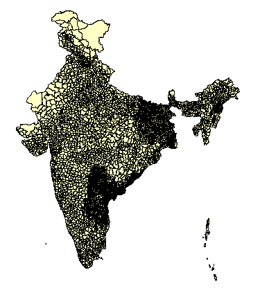
| Admin Level Used |
3
|
| Level1 Type |
State
|
| Level2 Type |
District
|
| Level3 Type |
Tahsil
|
| Number of Units |
4599
|
| Population Estimates | |
| Ref. Year First |
1981
|
| Ref. Year Last |
1991
|
| Pop '90 (estimated) ('000) |
831,128
|
| Pop '95 (estimated) ('000) |
927,218
|
| Pop '90 (UN) ('000) |
850,785
|
| Pop '95 (UN) ('000) |
933,665
|
| Difference '90 |
2.3 %
|
| Difference '95 |
0.7 %
|
| Spatial Estimates | |
| Area (sq km) |
3,287,590
|
| Resolution (km) |
27
|
| PopPerUnit ('000)` |
203
|
| Resources | |
| Web Site 1 | |
| Web Site 2 | |
| Web Site 3 | |
Data sourcesTahsil (3rd subnational level) data were obtained from:
Additional information used here was originally compiled for the NCGIA/UNEP/CGIAR Asia Population Database (ASPOP). See http://grid.cr.usgs.gov . The data came in PC ArcInfo format (entire Arc workspaces zipped up) as several separate coverages containing one or more states. Since the item definitions did not match, all items except the total and male/female population were deleted before mapjoining the coverages to create a complete India map. The Indian outside boundary was replaced with DCW. Since the Infomap Ltd data did not contain the areas of Kashmir held by Pakistan and China, the relevant regions were included from the district level database produced for the NCGIA/UNEP/CGIAR (ASPOP) project. The Tahsil level data contains information only for the rural population. Although urbanization in India is still relatively low, this means that about a quarter of the population is not considered in the raw data. Town population information was available from the IndiaMap product which is also available from Infomap Ltd. These towns were matched based on their names to the corresponding Tahsil -- a point in polygon operation was not used to avoid errors due to possible distortions in the boundaries or errors in the town locations. Where no matching Tahsil could be found, however, they were assigned based on their location. The total (urban & rural) pop for each Tahsil was then adjusted uniformly so that the total population in each district matched the published district totals used for the ASPOP database. Outside of Kashmir these adjustments were minor. Estimates of 1990 and 1995 Tahsil populations were then produced by using the inter-annual district growth rates used in the ASPOP project. Population for Jammu & Kashmir: Tahsil level data from Infomap Ltd were used for districts under Indian control. For the areas under Pakistani control, no reliable population figures are available. The following information was obtained from Population 13 million, including 1.5 million refugees in Pakistan and 0.5 million living in other parts of the world.The population of Kashmir in 1991 has reached 11.6 million- 7.3 million (63%) Indian controlled Kashmir and 4.3 million (37%) Pakistan controlled Kashmir. Pakistan controlled areas:
No source is given for the data. However, they are roughly in line with the estimates given in the Europa World Yearbook (information sheet for Pakistan): "The Pakistani-held parts of this region are known as Azad ("Free") Kashmir, with an area of 4,494 sq miles (11,639 sqkm) and a population of 1,980,000 in 1981, and Northern Areas (including Gilgit and Baltistan), with and area of 28,000 sq miles (72,520 sq km) and a population of 562,000 in 1981. [...] The population figures exclude refugees from Afghanistan (estimated to number about 3.8 mio. in early 1990)." The following pop figures were therefore assigned to the districts in the disputed areas:
Given the uncertainty of population estimates and the uncertain nature of the data sources, these figures are only VERY ROUGH GUESSTIMATES! |
|||||||||||||||
|
|||||||||||||||