The POPGRID Viewer explores the intercomparison of Population Counts and Settlement mapping from leading global data sources.
The POPGRID Data Collaborative aims to advance the use and impact of geospatial population and infrastructure data by bringing together and expanding the international community of data providers, users, and stakeholders from both the public and private sectors to accelerate the development and use of high quality, georeferenced data on population, human settlements, and infrastructure. Visit POPGRID for more info.
- This view provides 4 linked windows to compare data sets side by side and view pixel values
- Use the button (top right) to launch the comparison-view, which supports further investigation with the ability to query population count data sets from user defined regions and to view population estimates side by side.
- Layer Switcher: Browse from a selection of available layers.
- Turn map synchronization on or off
(This tool is only available in the top left map - Map1 )
- Set all four maps to a single layer
(This tool is only available in the top left map - Map1 )
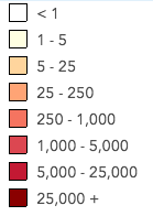
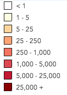
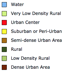
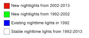
- Gets the map layer's legend