World Summary --- Côte d'Ivoire |
Summary information |
| Names | |
| ISO3-Code |
CIV
|
| Continent |
Africa
|
| Country Name |
Côte d'Ivoire
|
| Administrative | |
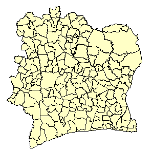
| Admin Level Used |
2
|
| Level1 Type |
Departement
|
| Level2 Type |
Sous-Prefecture
|
| Number of Units |
185
|
| Population Estimates | |
| Ref. Year First |
1975
|
| Ref. Year Last |
1988
|
| Pop '90 (estimated) ('000) |
11,446
|
| Pop '95 (estimated) ('000) |
13,989
|
| Pop '90 (UN) ('000) |
11,635
|
| Pop '95 (UN) ('000) |
13,528
|
| Difference '90 |
1.6 %
|
| Difference '95 |
-3.4 %
|
| Spatial Estimates | |
| Area (sq km) |
322,460
|
| Resolution (km) |
42
|
| PopPerUnit ('000) |
73
|
| Resources | |
| Web Site 1 | |
Data sourcesThis database was initially produced for the UNEP/GRID-WRI-NCGIA Africa Population Database. See the GRID-Sioux Falls web site at The population figures for 1960-90 are, in turn, based on the OECD/Club du Sahel West Africa Long Term Perspective Study (WALTPS), and were estimated by Benoit Ninnin. The 1980 and 1990 estimates produced for this database were used to produce the P95E estimate. WALTPS pop estimates based on:
Boundaries obtained from the National Committee on Remote Sensing and Geographic Information (CNTIG) in Cote d'Ivoire. |
||||||||
|
||||||||