NASA Website Socioeconomic Data and Applications Center (sedac)
A Data Center in NASA's Earth Observing System Data and Information System (EOSDIS) — Hosted by CIESIN at Columbia University
Data
  • Data Sets
  • Maps
  • Web Pages
  • home
  • Data
    • · Data Sets
    • · Data Collections
    • · Featured Data Uses
    • · Data Citations
    • · Citations Database
    • · Data Submission
  • Maps
    • · Map Gallery
    • · Map Viewer
    • · Map Services
    • · Mapping Tools
  • Themes
    • · Agriculture
    • · Climate
    • · Conservation
    • · Governance
    • · Hazards
    • · Health
    • · Infrastructure
    • · Land Use
    • · Marine and Coastal
    • · Population
    • · Poverty
    • · Remote Sensing
    • · Sustainability
    • · Urban
    • · Water
  • Resources
    • · Guides
    • · Multimedia
    • · Networks
    • · News
    • · Publications
    • · Related Sites
    • · Remote Sensing
    • · Tools
  • Social Media
    • · Twitter
    • · FaceBook
    • · YouTube
    • · Flickr
    • · Blog Posts
    • · Communities
  • About
    • · About SEDAC
    • · User Working Group
    • · Privacy
    • · User Registration
  • Help
 

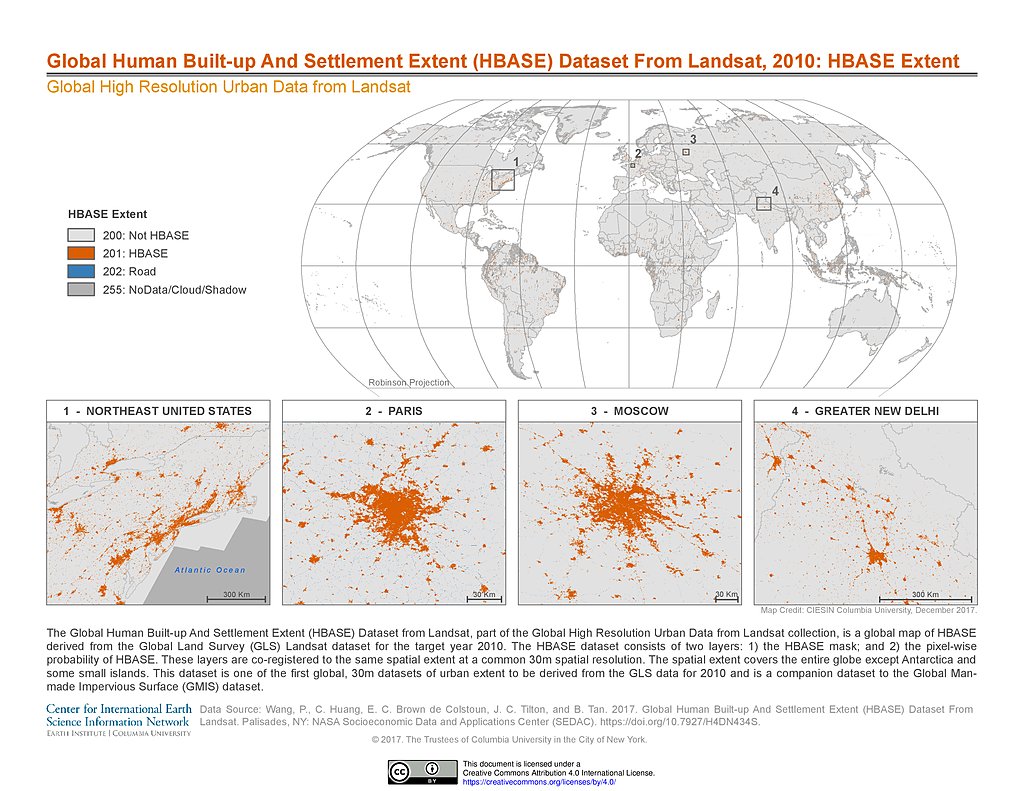
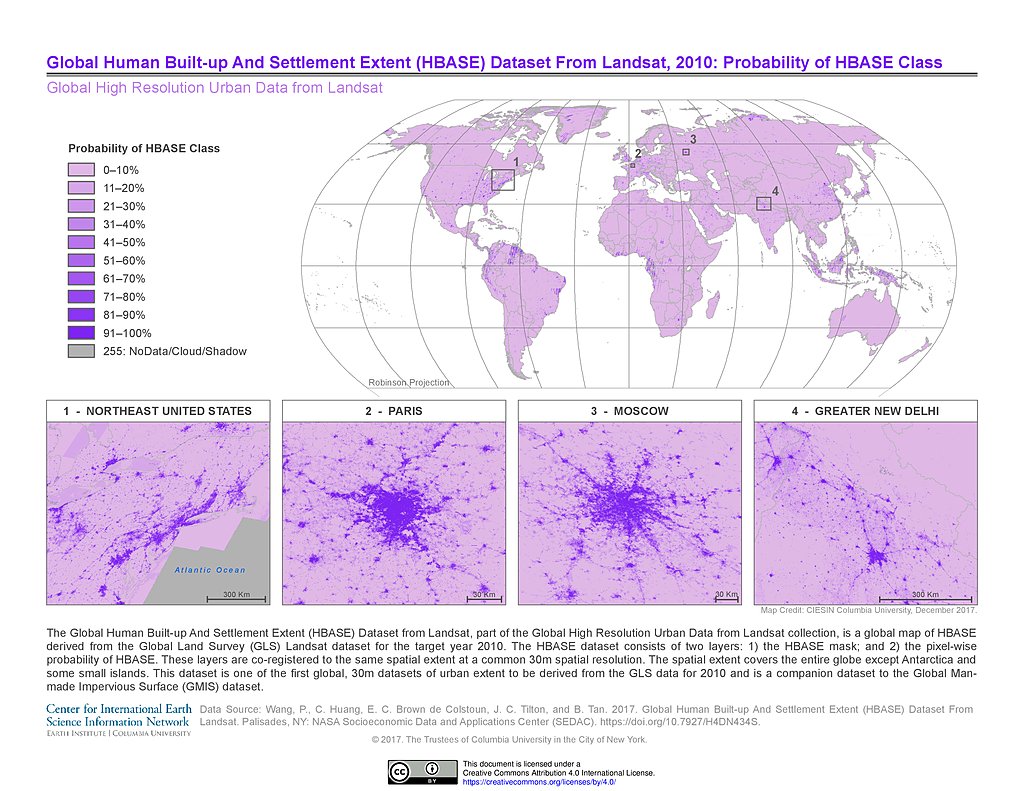
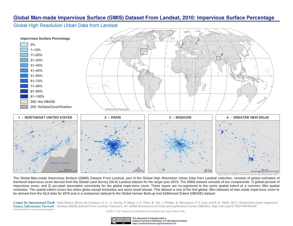
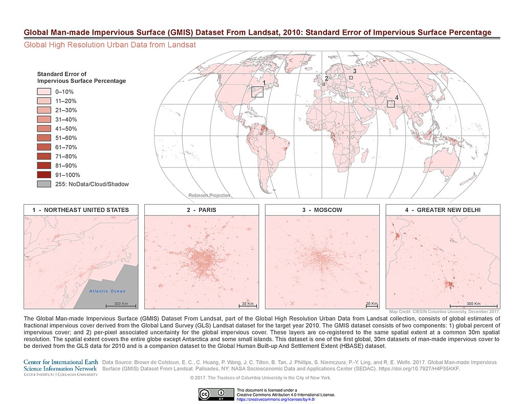
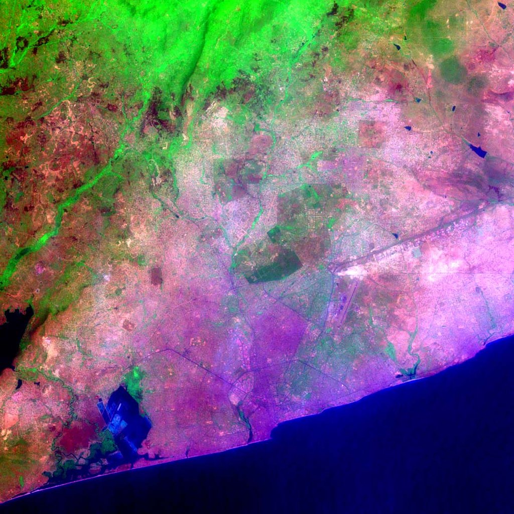
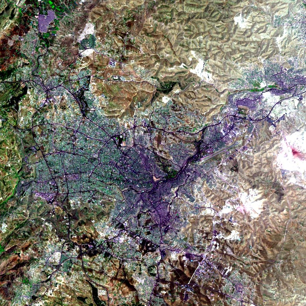
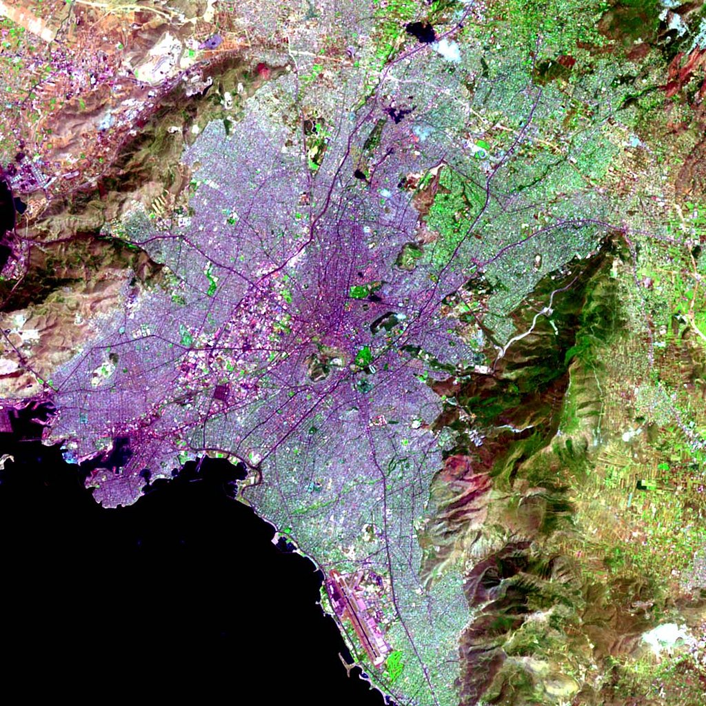
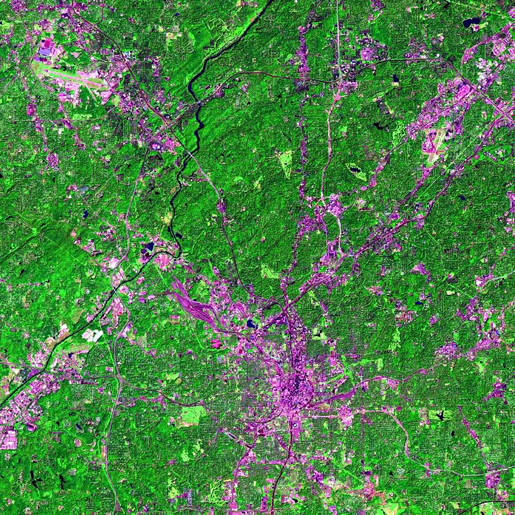
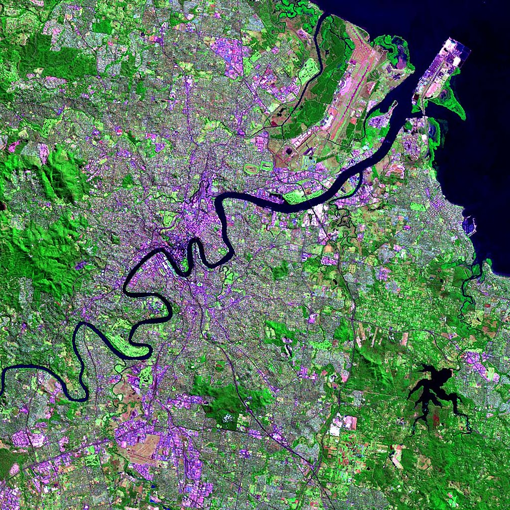
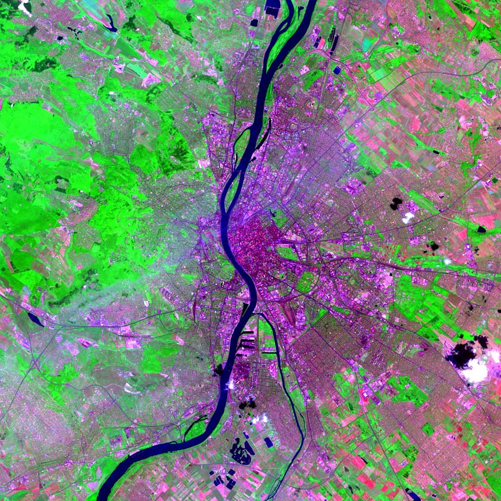
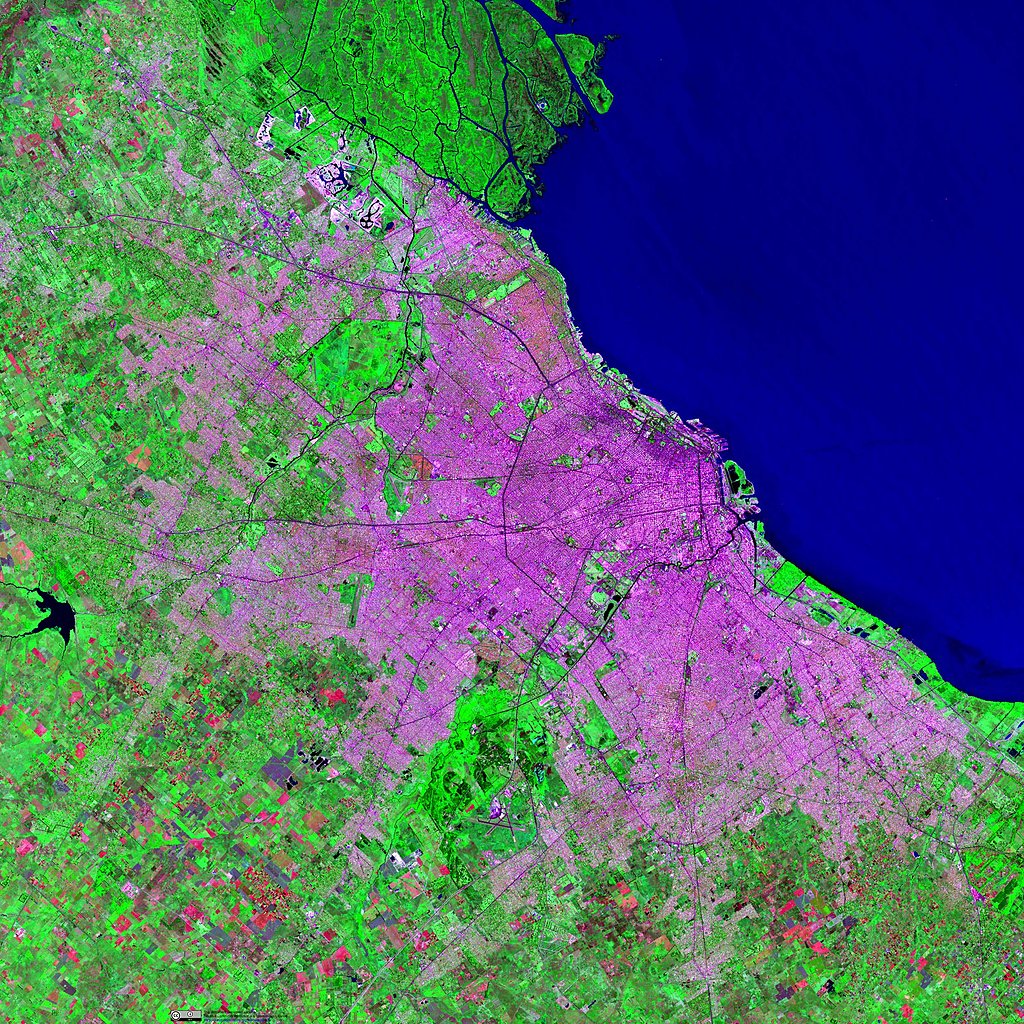
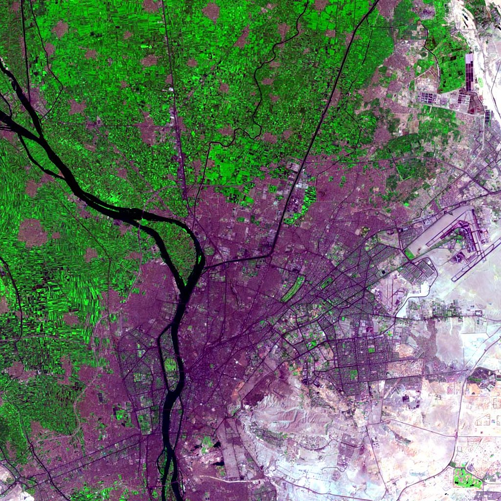
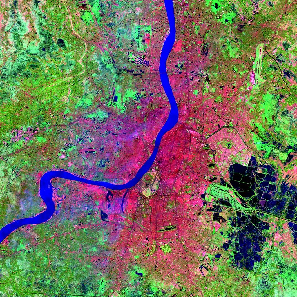
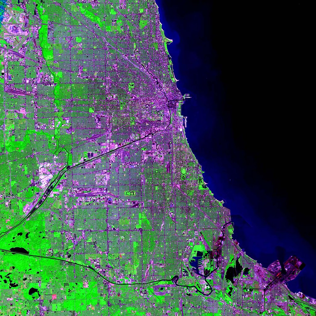
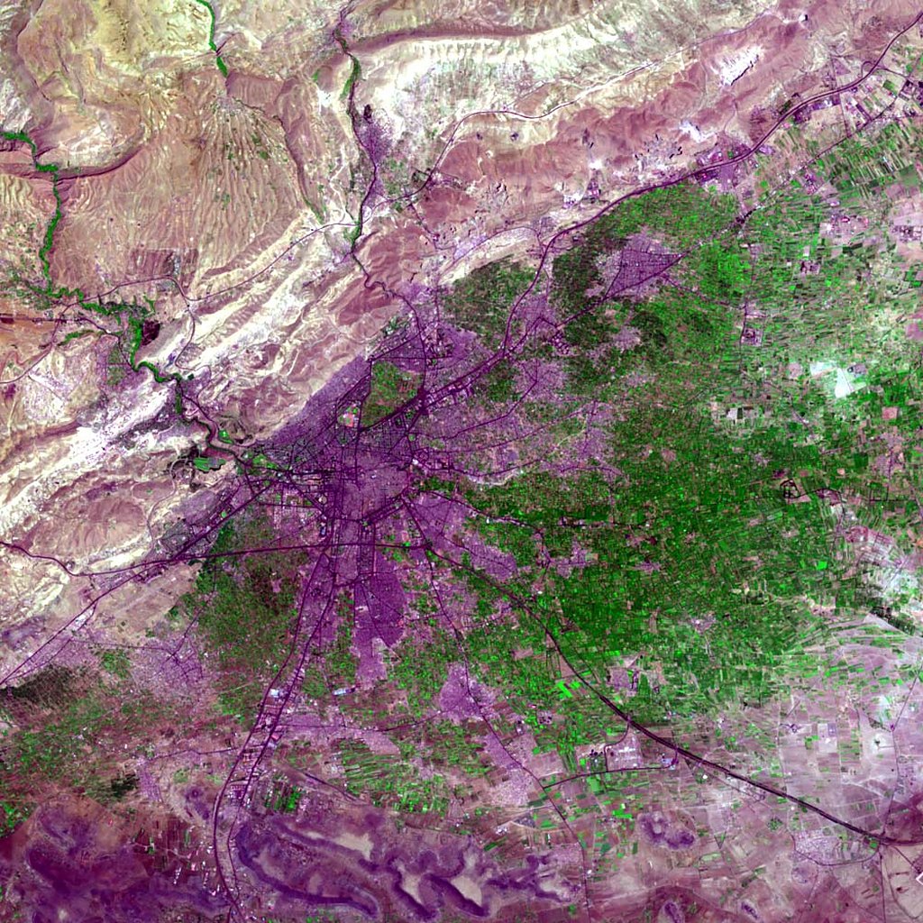
Global High Resolution Urban Data from Landsat

Follow Us: Twitter Follow Us on Facebook YouTube Flickr   |   Share: Twitter Facebook
  • Collection Overview
  • Data Sets (3)
  • Map Gallery (81)
    Search
    Region
    Africa (6)
    Asia (22)
    Europe (8)
    Global (4)
    North America (25)
    Oceania (4)
    South America (12)
    Location
  • Citations
Data Sets » Theme: Land UseRemove Facet
1 of 3
Prev | Next

HBASE Extent, 2010

Map: HBASE Extent, 2010
Hi-Resolution: PDF | PNG

Probability of HBASE Class, 2010

Map: Probability of HBASE Class, 2010
Hi-Resolution: PDF | PNG

GMIS Impervious Surface Percentage, 2010

Map: GMIS Impervious Surface Percentage, 2010
Hi-Resolution: PDF | PNG

GMIS Standard Error Impervious Surface Percentage, 2010

Map: GMIS Standard Error Impervious Surface Percentage, 2010
Hi-Resolution: PDF | PNG

Landsat Image: Accra, Ghana

Map: Landsat Image: Accra, Ghana
Hi-Resolution: PDF | PNG

Landsat Image: Amman, Jordan

Map: Landsat Image: Amman, Jordan
Hi-Resolution: PDF | PNG

Landsat Image: Athens, Greece

Map: Landsat Image: Athens, Greece
Hi-Resolution: PDF | PNG

Landsat Image: Atlanta, U.S.A.

Map: Landsat Image: Atlanta, U.S.A.
Hi-Resolution: PDF | PNG

Landsat Image: Bamako, Mali

Map: Landsat Image: Bamako, Mali
Hi-Resolution: PDF | PNG

Landsat Image: Bangalore, India

Map: Landsat Image: Bangalore, India
Hi-Resolution: PDF | PNG

Landsat Image: Beijing, China

Map: Landsat Image: Beijing, China
Hi-Resolution: PDF | PNG

Landsat Image: Beirut, Lebanon

Map: Landsat Image: Beirut, Lebanon
Hi-Resolution: PDF | PNG

Landsat Image: Bogota, Colombia

Map: Landsat Image: Bogota, Colombia
Hi-Resolution: PDF | PNG

Landsat Image: Brisbane, Australia

Map: Landsat Image: Brisbane, Australia
Hi-Resolution: PDF | PNG

Landsat Image: Budapest, Hungary

Map: Landsat Image: Budapest, Hungary
Hi-Resolution: PDF | PNG

Landsat Image: Buenos Aires, Argentina

Map: Landsat Image: Buenos Aires, Argentina
Hi-Resolution: PDF | PNG

Landsat Image: Cairo, Egypt

Map: Landsat Image: Cairo, Egypt
Hi-Resolution: PDF | PNG

Landsat Image: Calcutta, India

Map: Landsat Image: Calcutta, India
Hi-Resolution: PDF | PNG

Landsat Image: Calgary, Canada

Map: Landsat Image: Calgary, Canada
Hi-Resolution: PDF | PNG

Landsat Image: Caracas, Venezuela

Map: Landsat Image: Caracas, Venezuela
Hi-Resolution: PDF | PNG

Landsat Image: Chicago, U.S.A.

Map: Landsat Image: Chicago, U.S.A.
Hi-Resolution: PDF | PNG

Landsat Image: Cuzco, Peru

Map: Landsat Image: Cuzco, Peru
Hi-Resolution: PDF | PNG

Landsat Image: Dakar, Senegal

Map: Landsat Image: Dakar, Senegal
Hi-Resolution: PDF | PNG

Landsat Image: Damascus, Syria

Map: Landsat Image: Damascus, Syria
Hi-Resolution: PDF | PNG

Landsat Image: El Paso-Juarez, U.S.A./Mexico Border

Map: Landsat Image: El Paso-Juarez, U.S.A./Mexico Border
Hi-Resolution: PDF | PNG

Landsat Image: Glasgow, Scotland

Map: Landsat Image: Glasgow, Scotland
Hi-Resolution: PDF | PNG

Landsat Image: Guadalajara, Mexico

Map: Landsat Image: Guadalajara, Mexico
Hi-Resolution: PDF | PNG

Landsat Image: Guangzhou, China

Map: Landsat Image: Guangzhou, China
Hi-Resolution: PDF | PNG

Landsat Image: Guatemala City, Guatemala

Map: Landsat Image: Guatemala City, Guatemala
Hi-Resolution: PDF | PNG

Landsat Image: Hanoi, Vietnam

Map: Landsat Image: Hanoi, Vietnam
Hi-Resolution: PDF | PNG

Landsat Image: Hong Kong, China

Map: Landsat Image: Hong Kong, China
Hi-Resolution: PDF | PNG

Landsat Image: Jaipur, India

Map: Landsat Image: Jaipur, India
Hi-Resolution: PDF | PNG
Data Sets » Theme: Land UseRemove Facet
1 of 3
Prev | Next

Home | Data | Data Uses | Data Citations | Maps | Map Services

News | Tools | Guides | Publications | Blog Posts

About | Help | Privacy | User Registration

Copyright © 1997–2023. The Trustees of Columbia University in the City of New York.

WDS ICSU