Socioeconomic Data and Applications Center (
sedac
)
A Data Center in NASA's Earth Observing System Data and Information System (
EOSDIS
) — Hosted by
CIESIN
at
Columbia University
Search SEDAC
Data
Data Sets
Maps
Web Pages
search
Data
· Data Sets
· Data Collections
· Featured Data Uses
· Data Citations
· Citations Database
· Data Submission
Maps
· Map Gallery
· Map Viewer
· Map Services
· Mapping Tools
Themes
· Agriculture
· Climate
· Conservation
· Governance
· Hazards
· Health
· Infrastructure
· Land Use
· Marine and Coastal
· Population
· Poverty
· Remote Sensing
· Sustainability
· Urban
· Water
Resources
· Guides
· Multimedia
· Networks
· News
· Publications
· Related Sites
· Remote Sensing
· Tools
Social Media
· Twitter
· FaceBook
· YouTube
· Flickr
· Blog Posts
· Communities
About
· About SEDAC
· User Working Group
· Privacy
· User Registration
Help
Map Gallery
(203)
Follow Us:
Twitter
Follow Us on Facebook
YouTube
Flickr
| Share:
Twitter
Facebook
Search
All Fields:
search
Theme
Agriculture
(8)
Climate
(24)
Conservation
(29)
Framework Data
(30)
Hazards
(5)
Health
(9)
Infrastructure
(5)
Land Use
(27)
Marine and Coastal
(3)
Population
(132)
Poverty
(6)
Remote Sensing
(20)
Sustainability
(119)
Urban
(91)
Water
(4)
Location
Select a Location...
american samoa
(5)
australia
(11)
cook islands
(5)
fiji
(5)
french polynesia
(5)
guam
(6)
holy see
(1)
kiribati
(5)
marshall islands
(7)
micronesia (federated states of)
(5)
morocco
(1)
nauru
(5)
new caledonia
(5)
new zealand
(5)
niue
(5)
norfolk island
(4)
northern mariana islands
(5)
palau
(7)
papua new guinea
(5)
pitcairn
(5)
samoa
(5)
solomon islands
(5)
tokelau
(5)
tonga
(5)
trinidad and tobago
(5)
tuvalu
(5)
vanuatu
(5)
wallis and futuna islands
(5)
go
Maps
»
Region: Oceania
Remove Facet
6 of 7
Prev
|
Next
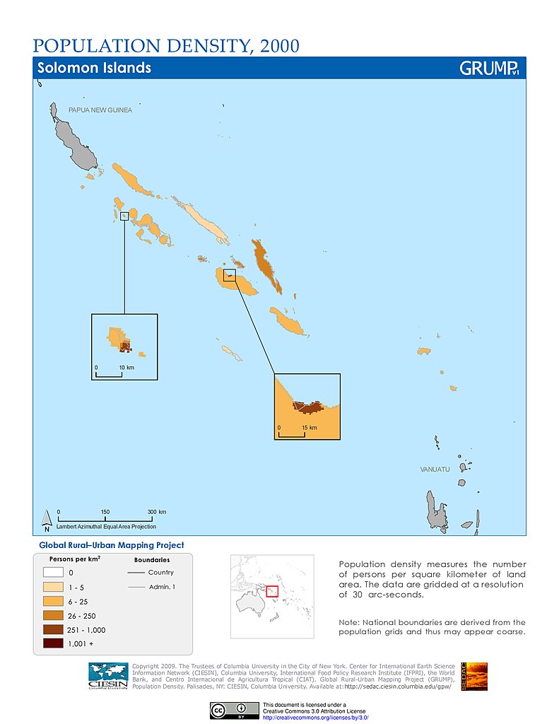
Population Density (2000): Solomon Islands
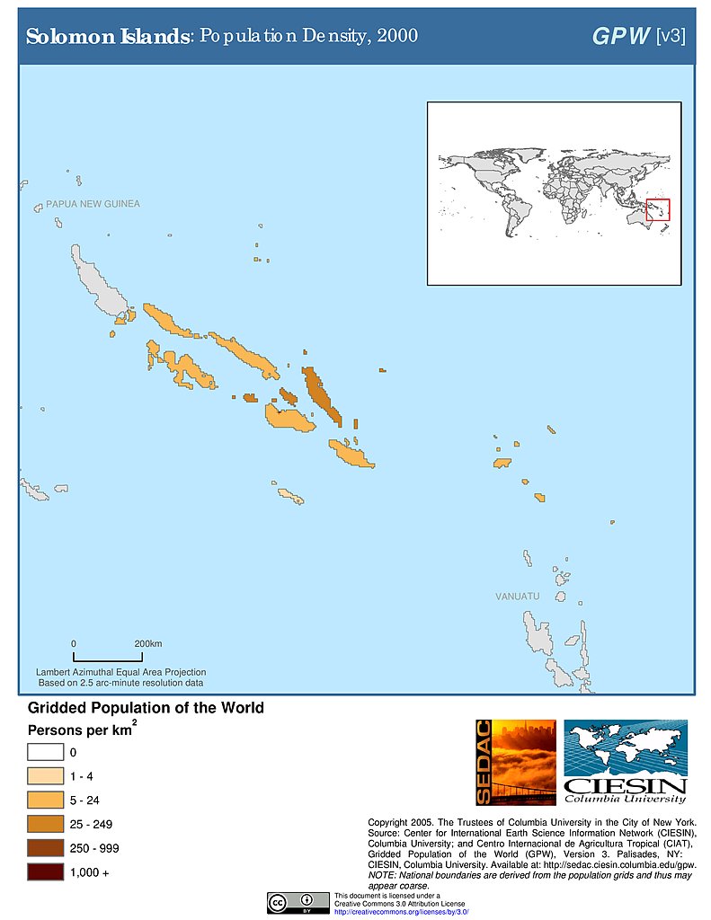
Population Density (2000): Solomon Islands
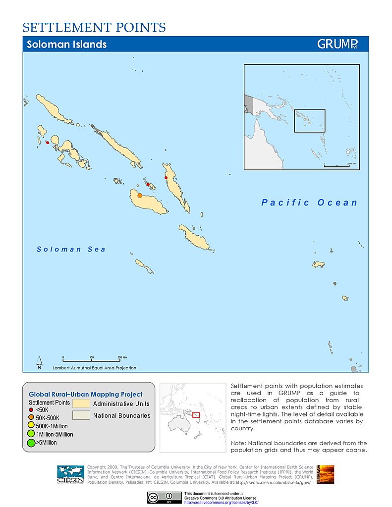
Settlement Points: Solomon Islands
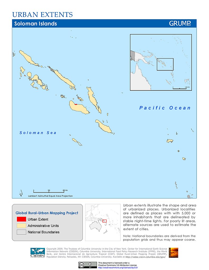
Urban Extents: Solomon Islands
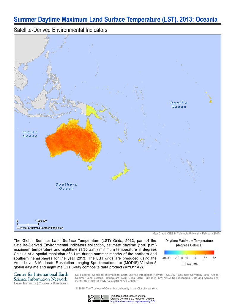
Summer Daytime Maximum LST (2013): Oceania
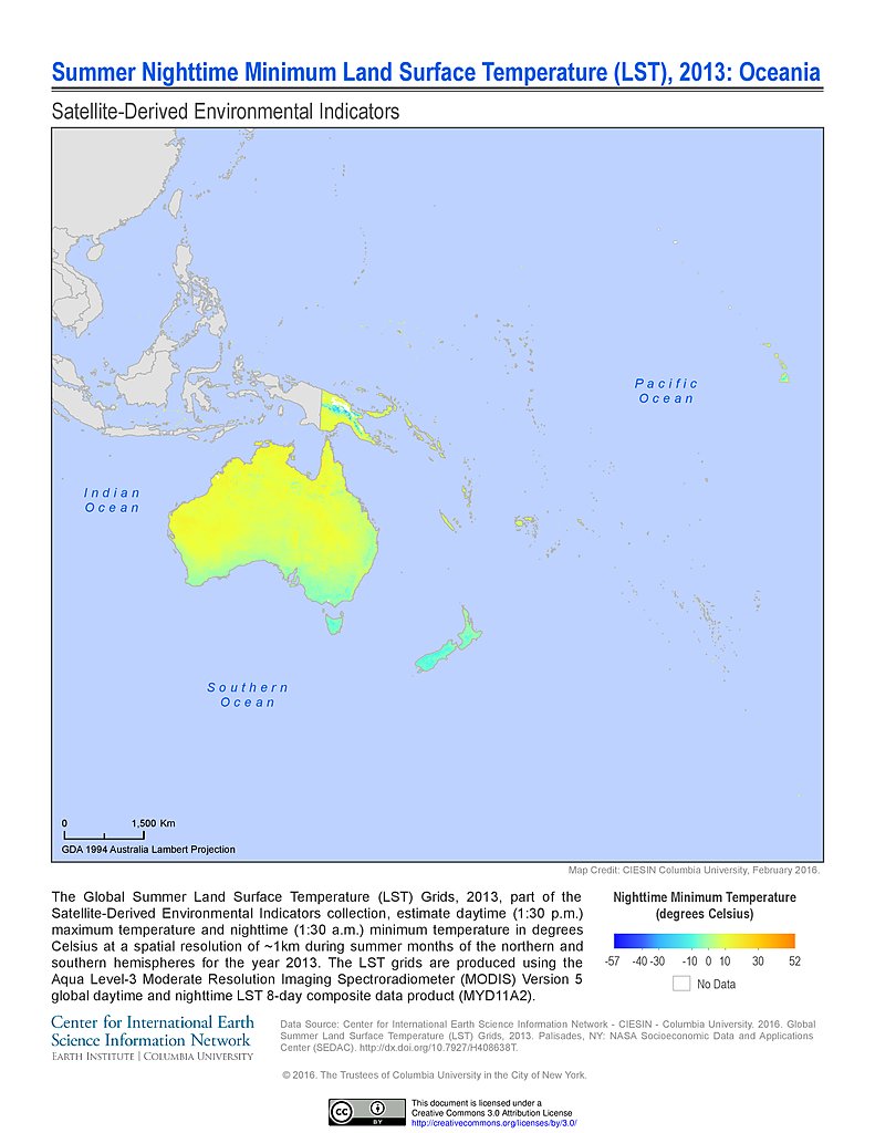
Summer Nighttime Minimum LST (2013): Oceania
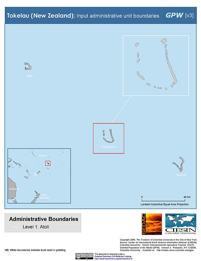
Administrative Boundaries: Tokelau
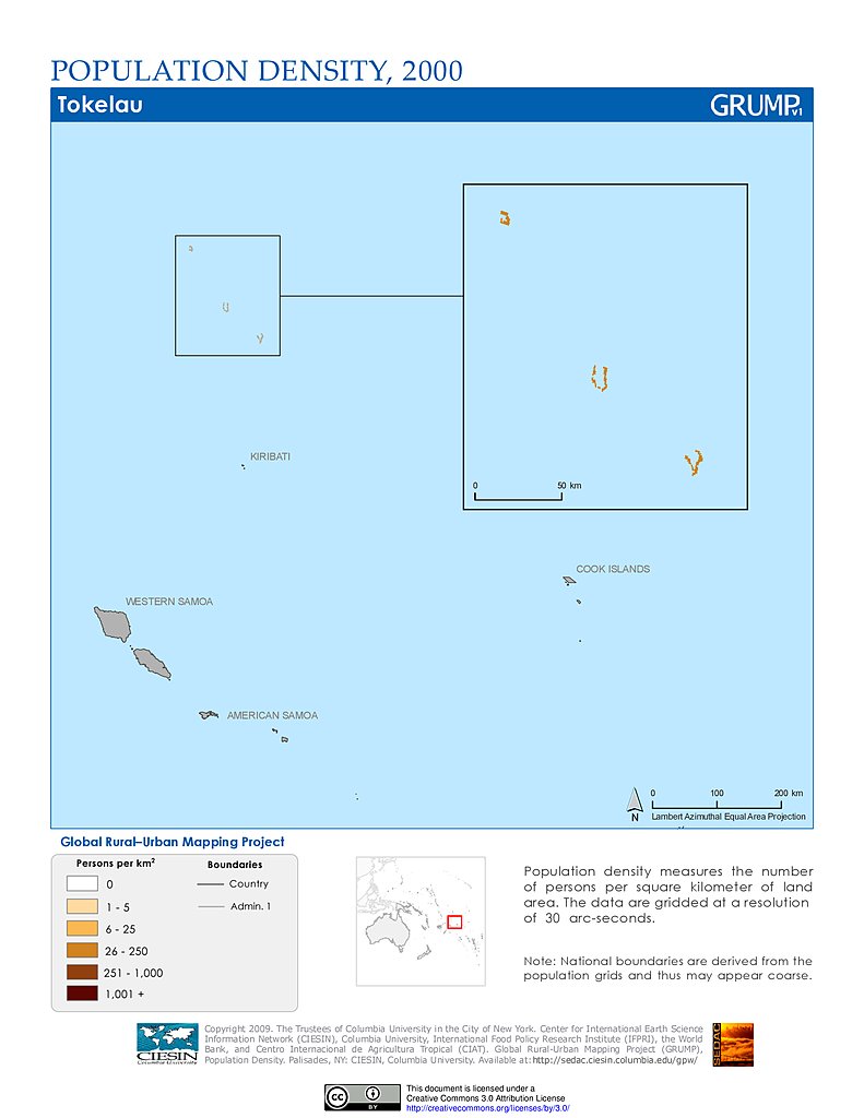
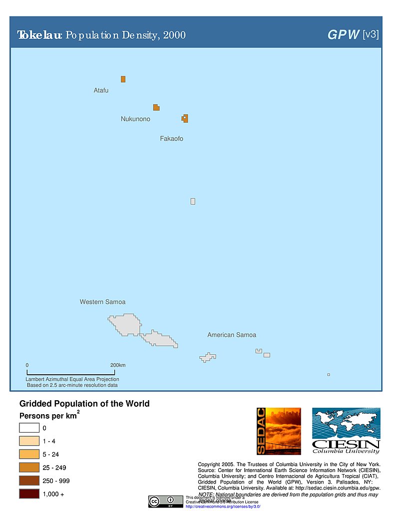
Population Density (2000): Tokelau
Population Density (2000): Tokelau
Settlement Points: Tokelau
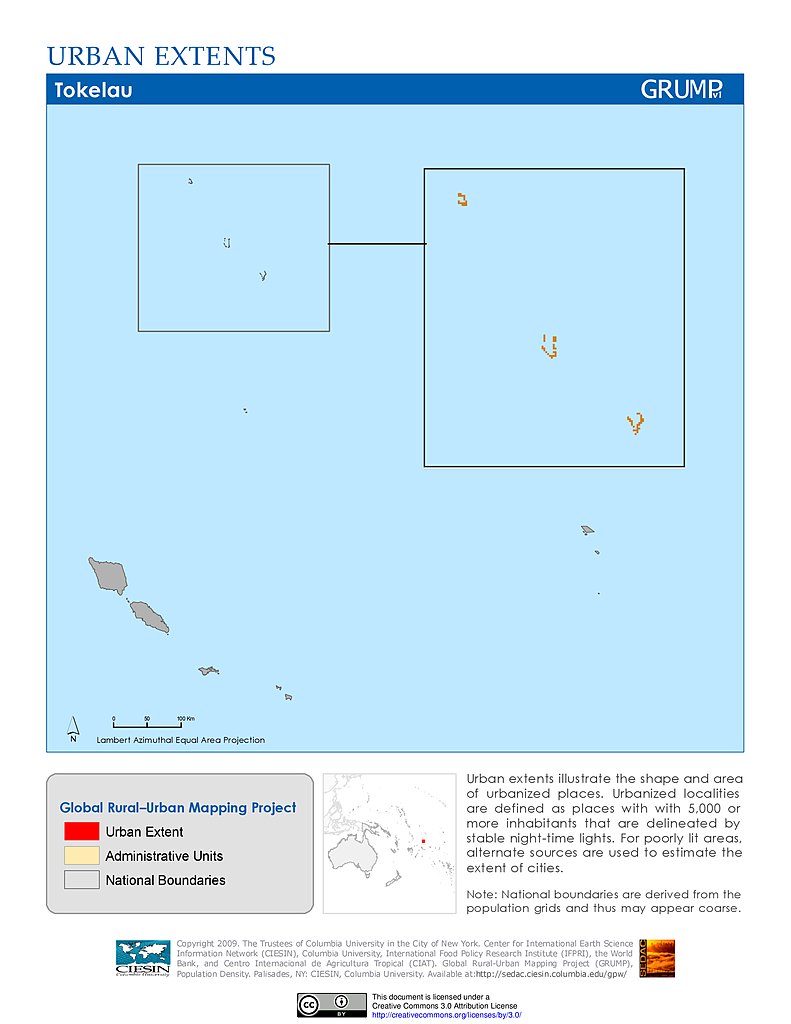
Urban Extents: Tokelau
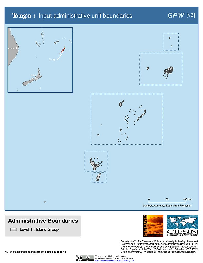
Administrative Boundaries: Tonga
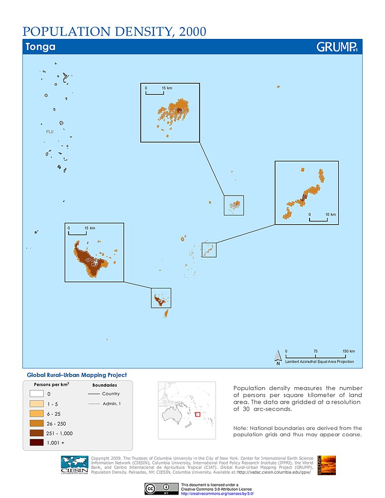
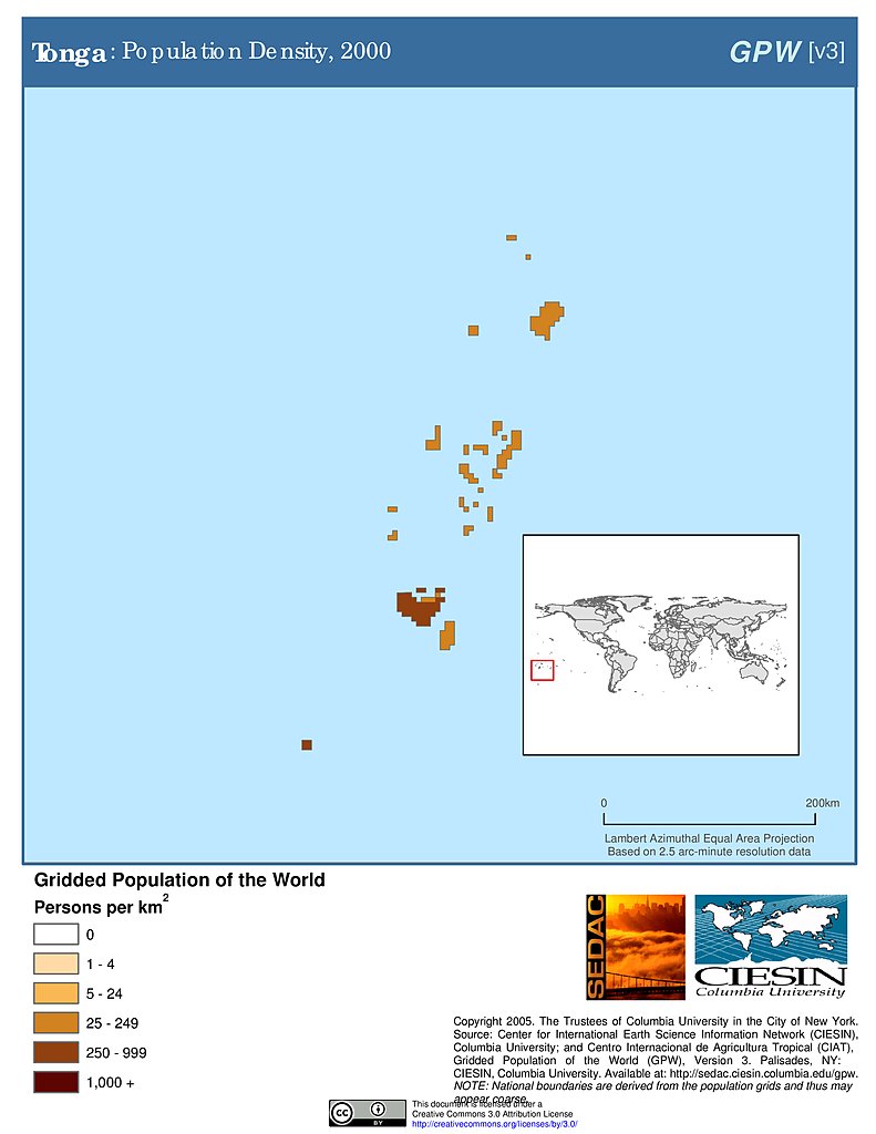
Population Density (2000): Tonga
Population Density (2000): Tonga
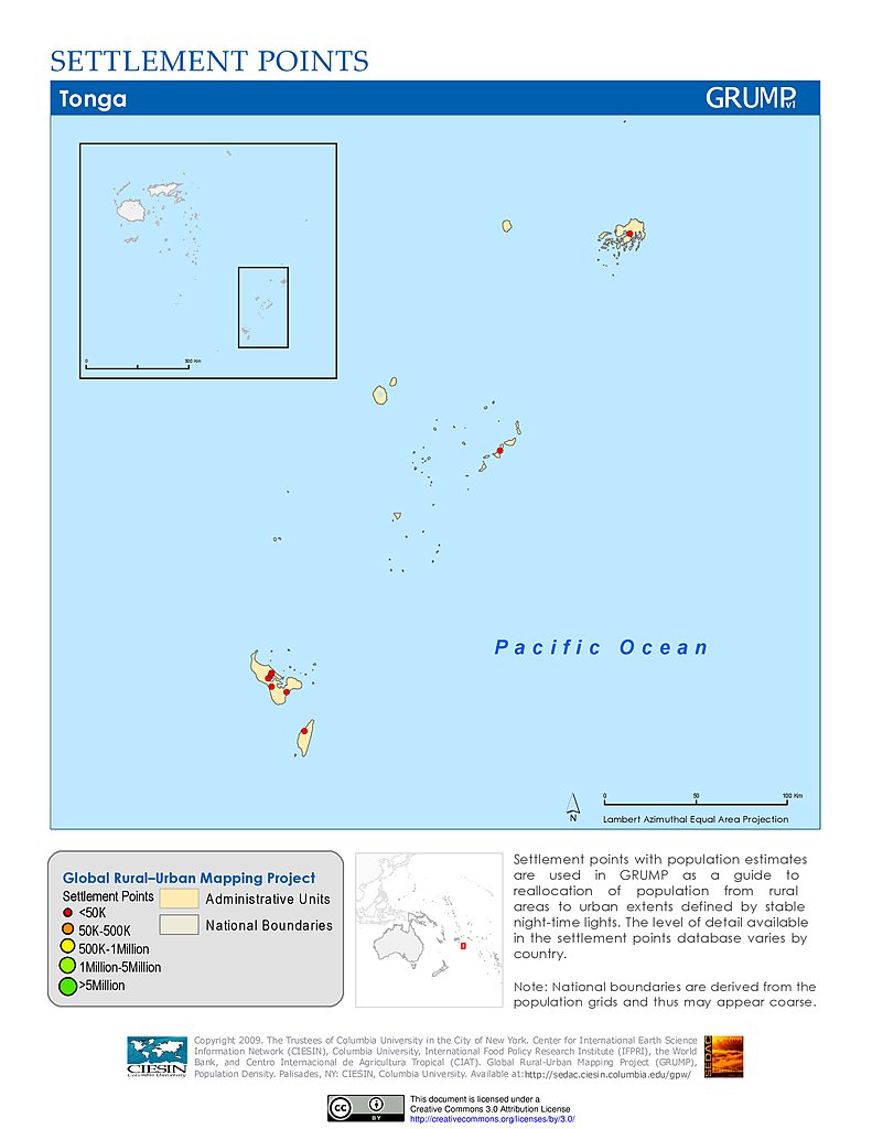
Settlement Points: Tonga
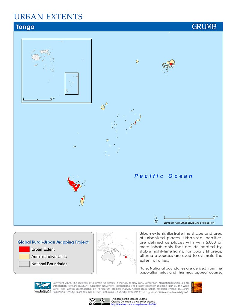
Urban Extents: Tonga
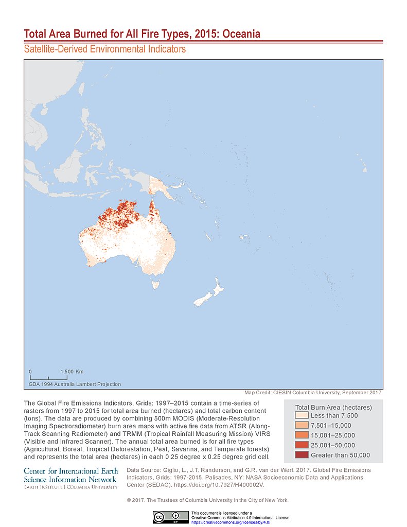
Total Area Burned All Fire Types (2015): Oceania
Total Carbon Content All Fire Types (2015): Oceania
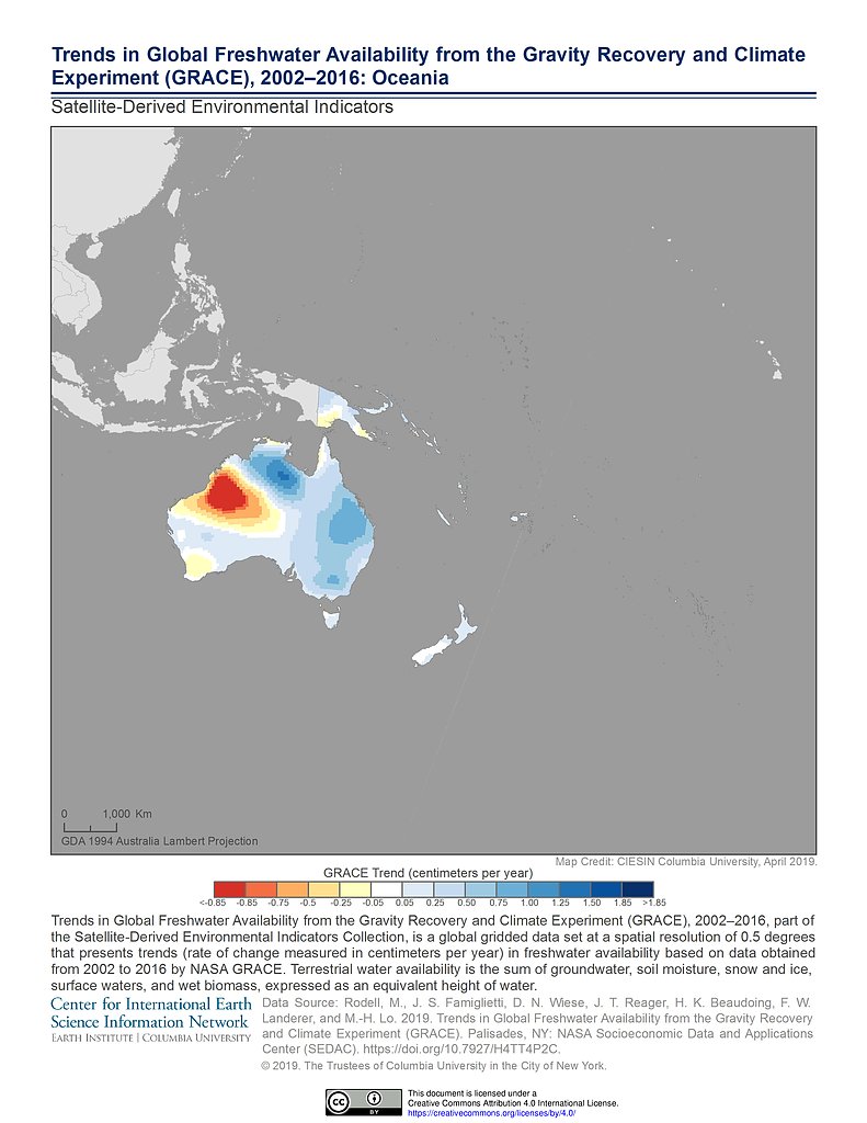
GRACE Freshwater Availability Trends (2002-2016): Oceania
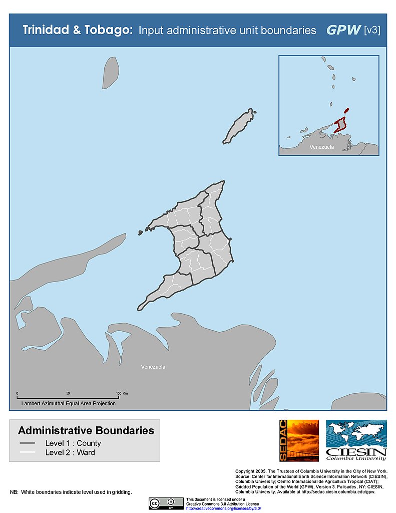
Administrative Boundaries: Trinidad & Tobago
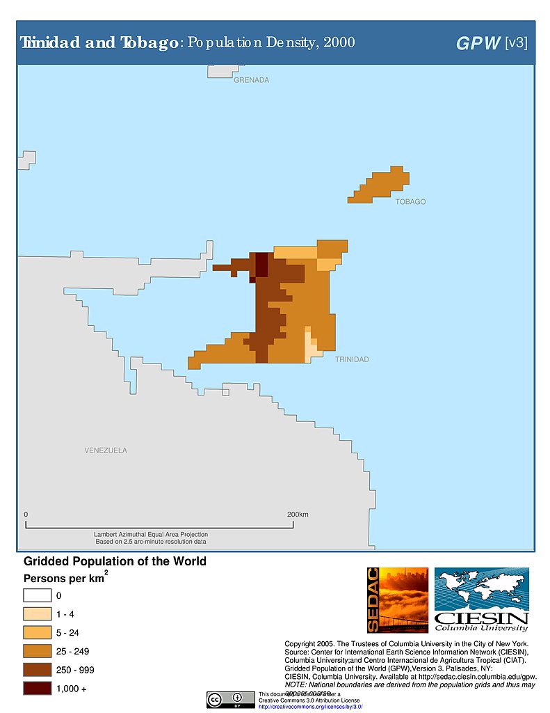
Population Density (2000): Trinidad & Tobago
Population Density (2000): Trinidad & Tobago
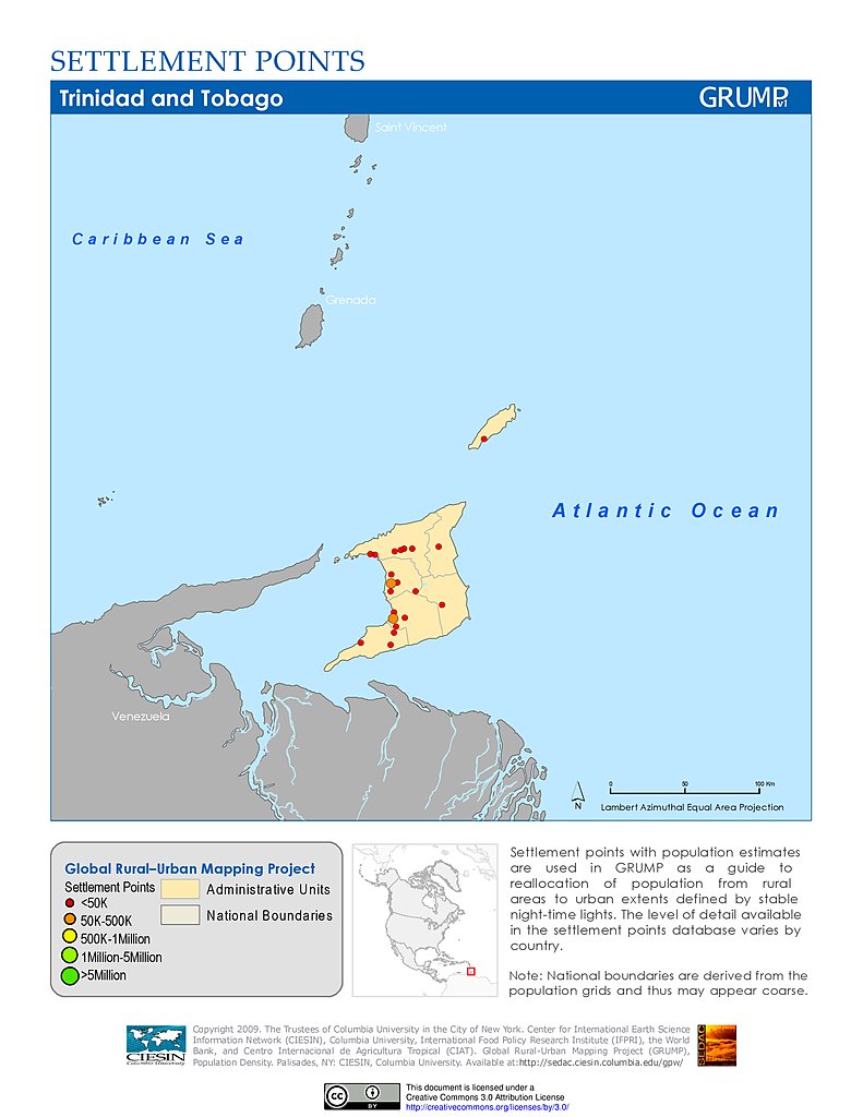
Settlement Points: Trinidad & Tobago
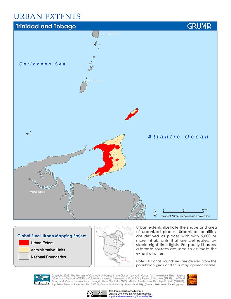
Urban Extents: Trinidad & Tobago
Administrative Boundaries: Tuvalu
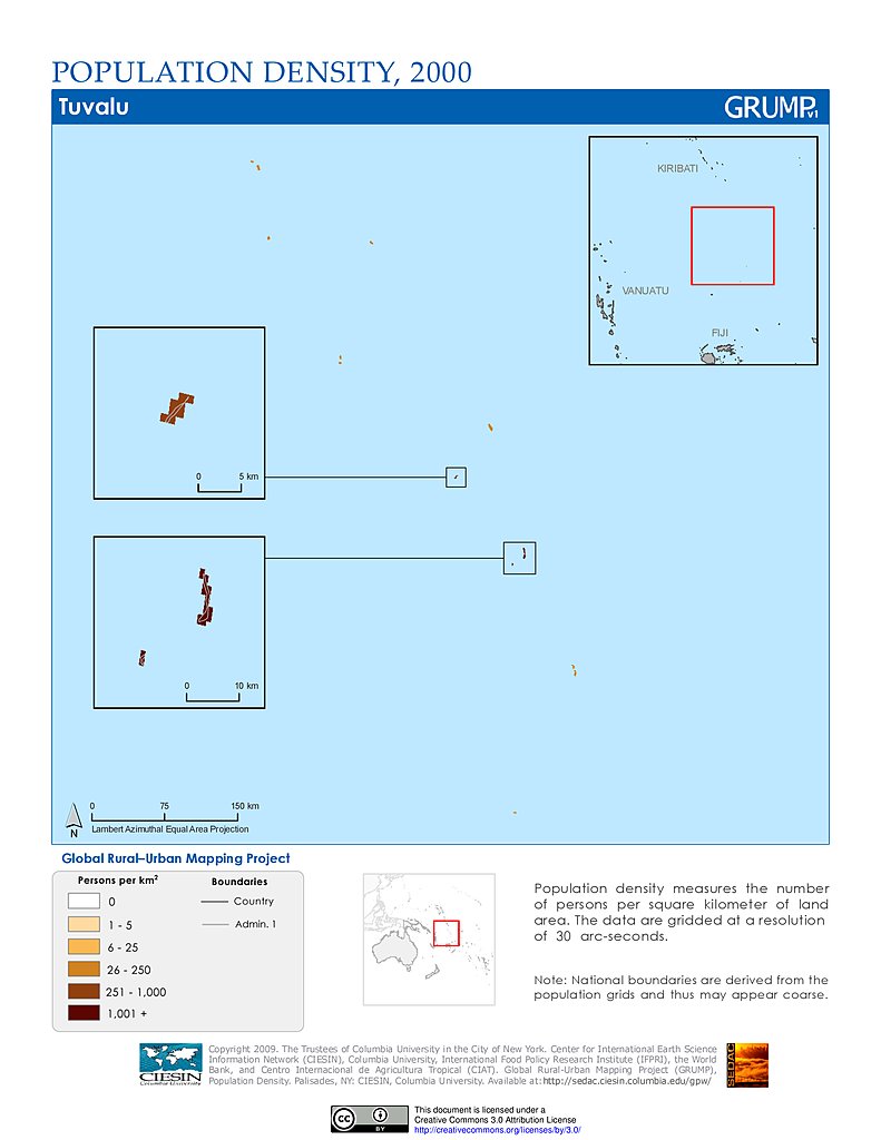
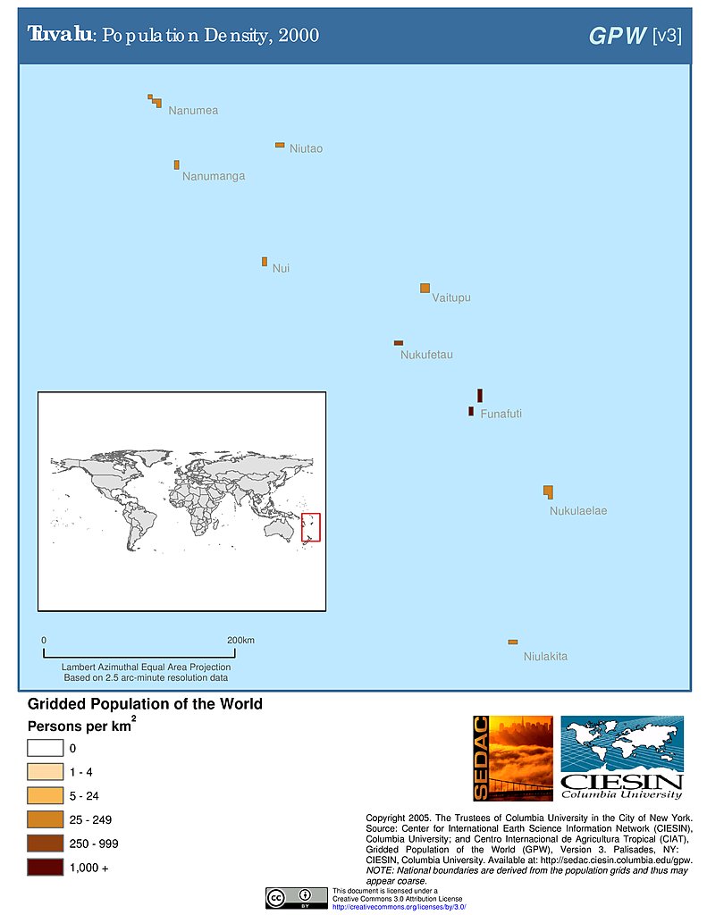
Population Density (2000): Tuvalu
Population Density (2000): Tuvalu
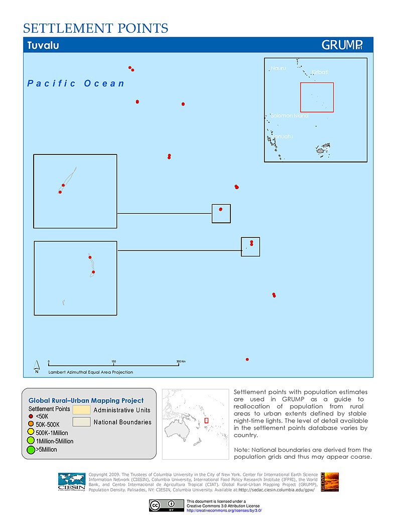
Settlement Points: Tuvalu
Urban Extents: Tuvalu
Urban Extents: Oceania
Administrative Boundaries: Vanuatu
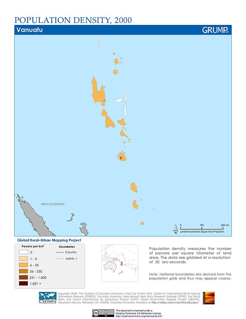
Population Density (2000): Vanuatu
Maps
»
Region: Oceania
Remove Facet
6 of 7
Prev
|
Next