Socioeconomic Data and Applications Center (
sedac
)
A Data Center in NASA's Earth Observing System Data and Information System (
EOSDIS
) — Hosted by
CIESIN
at
Columbia University
Search SEDAC
Data
Data Sets
Maps
Web Pages
search
Data
· Data Sets
· Data Collections
· Featured Data Uses
· Data Citations
· Citations Database
· Data Submission
Maps
· Map Gallery
· Map Viewer
· Map Services
· Mapping Tools
Themes
· Agriculture
· Climate
· Conservation
· Governance
· Hazards
· Health
· Infrastructure
· Land Use
· Marine and Coastal
· Population
· Poverty
· Remote Sensing
· Sustainability
· Urban
· Water
Resources
· Guides
· Multimedia
· Networks
· News
· Publications
· Related Sites
· Remote Sensing
· Tools
Social Media
· Twitter
· FaceBook
· YouTube
· Flickr
· Blog Posts
· Communities
About
· About SEDAC
· User Working Group
· Privacy
· User Registration
Help
Map Gallery
(310)
Follow Us:
Twitter
Follow Us on Facebook
YouTube
Flickr
| Share:
Twitter
Facebook
Search
All Fields:
search
Region
Africa
(32)
Asia
(55)
Europe
(31)
Global
(79)
North America
(51)
Oceania
(27)
South America
(35)
Location
Select a Location...
afghanistan
(1)
argentina
(1)
australia
(4)
austria
(1)
bolivia
(2)
brazil
(3)
canada
(4)
chile
(1)
china
(5)
colombia
(1)
costa rica
(1)
democratic people's republic of korea
(1)
dominican republic
(1)
ecuador
(1)
egypt
(1)
el salvador
(1)
france
(1)
ghana
(1)
greece
(1)
guatemala
(1)
haiti
(1)
hong kong special administrative region
(1)
hungary
(1)
india
(10)
israel
(1)
italy
(1)
japan
(1)
jordan
(1)
lebanon
(1)
mali
(1)
mexico
(4)
nepal
(1)
nicaragua
(1)
nigeria
(1)
peru
(2)
philippines
(1)
portugal
(1)
russian federation
(1)
senegal
(1)
singapore
(1)
south africa
(1)
spain
(1)
syrian arab republic
(1)
taiwan
(1)
united kingdom of great britain and northern ireland
(1)
united republic of tanzania
(1)
united states of america
(14)
venezuela (bolivarian republic of)
(1)
viet nam
(1)
go
Maps
»
Theme: Land Use
Remove Facet
8 of 10
Prev
|
Next
Landsat Image: Sao Paulo, Brazil
Landsat Image: Seattle & Tacoma, U.S.A.
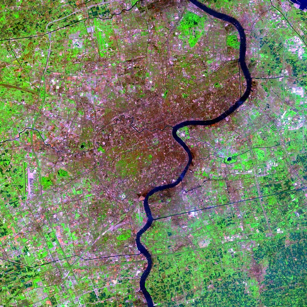
Landsat Image: Shanghai, China
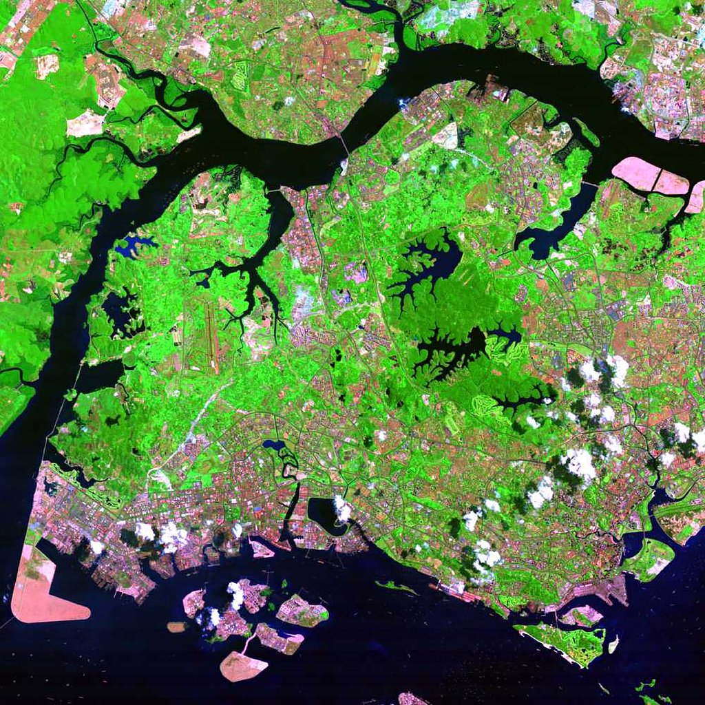
Landsat Image: Singapore
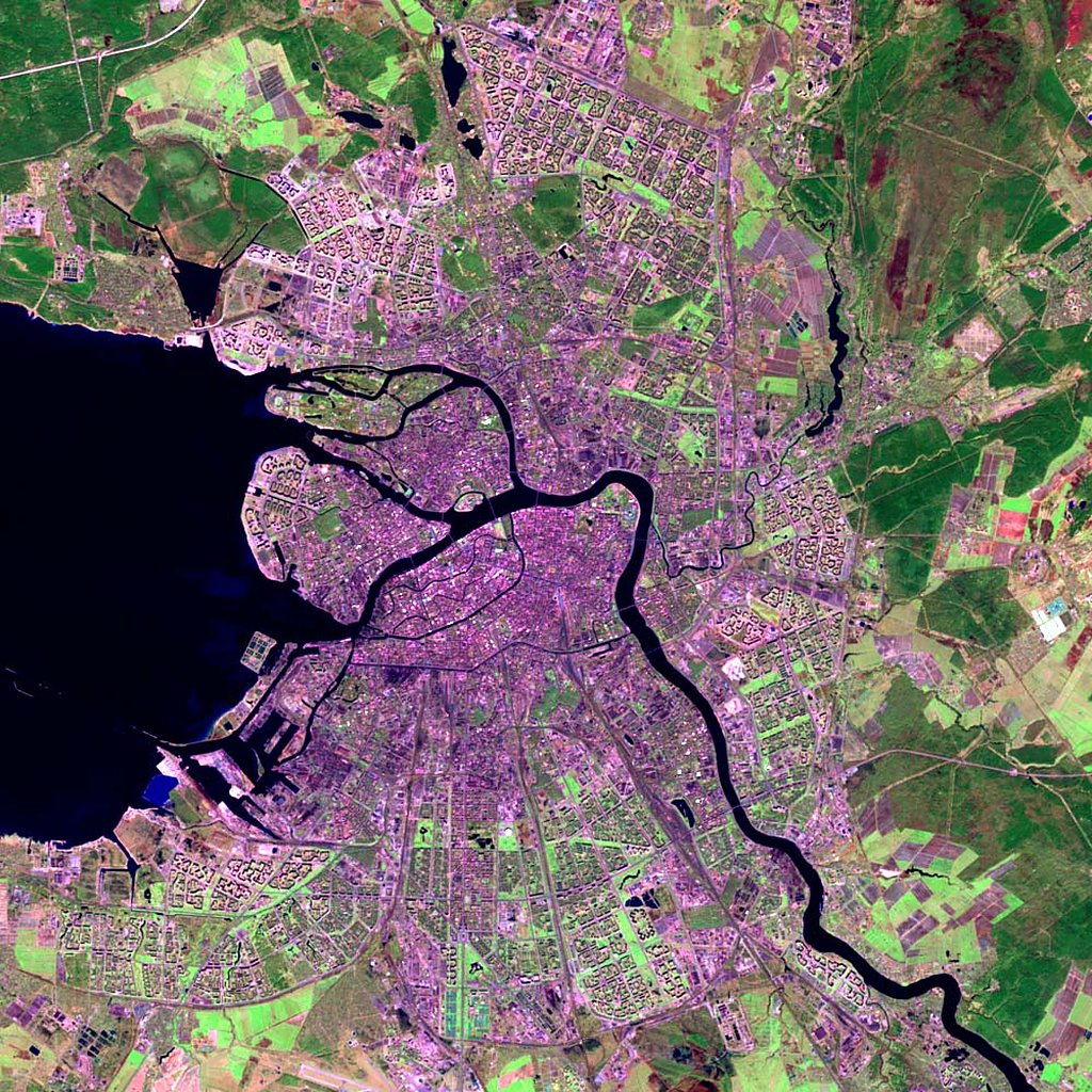
Landsat Image: St Petersburg, Russia
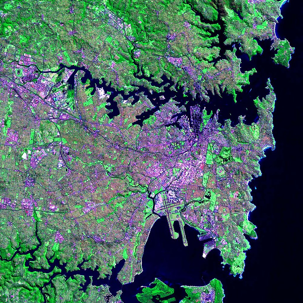
Landsat Image: Sydney, Australia
Landsat Image: Taipei, Taiwan
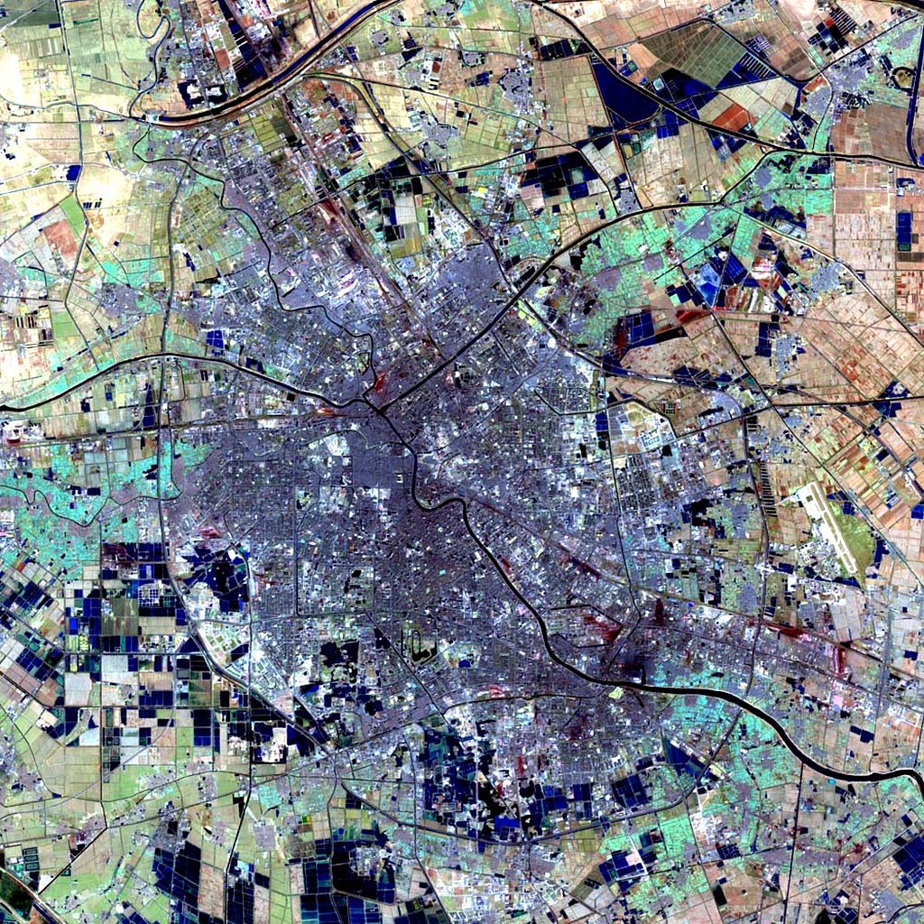
Landsat Image: Tianjin, China
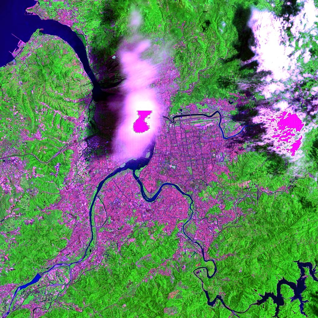
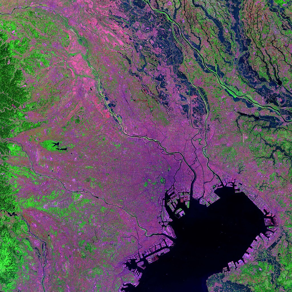
Landsat Image: Tokyo, Japan
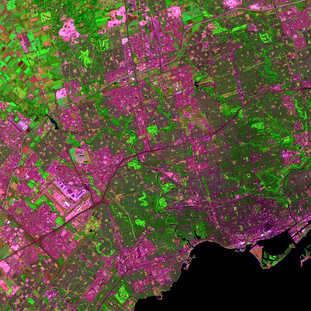
Landsat Image: Toronto, Canada
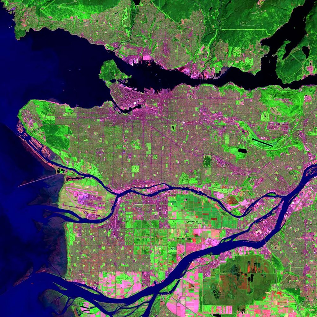
Landsat Image: Vancouver, Canada
Landsat Image: Venice, Italy
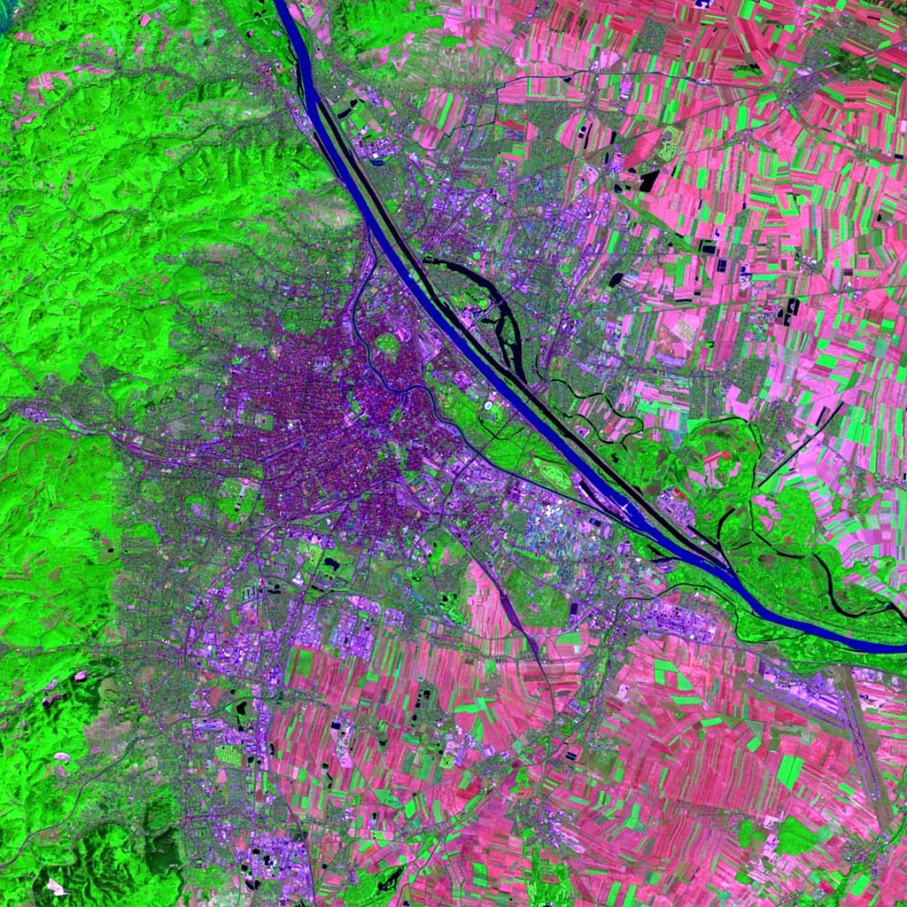
Landsat Image: Vienna, Austria
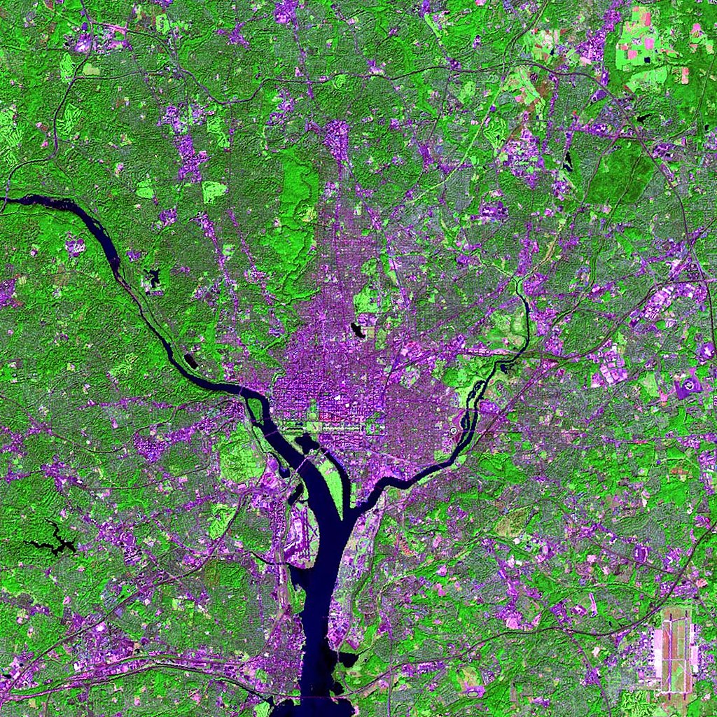
Landsat Image: Washington DC, U.S.A.
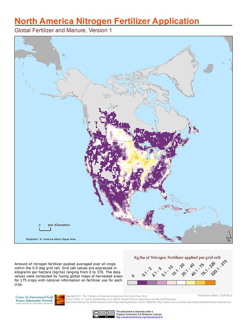
Nitrogen Fertilizer Application: North America
Phosphorus Fertilizer Application: North America
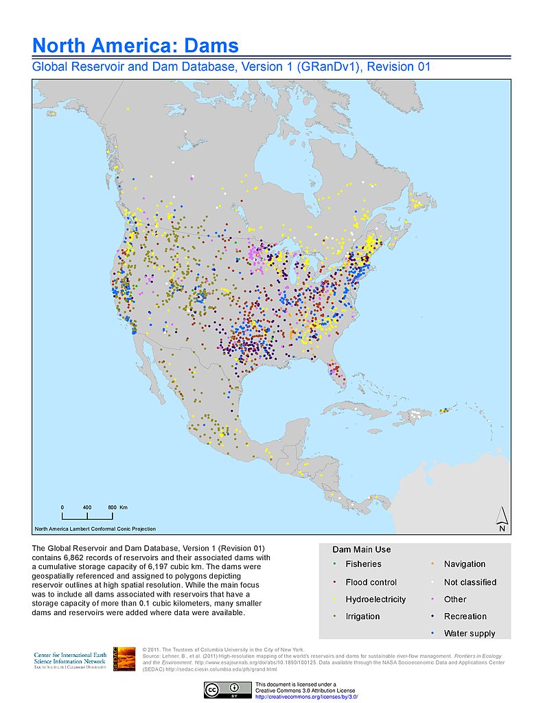
Dams, v1.01: North America
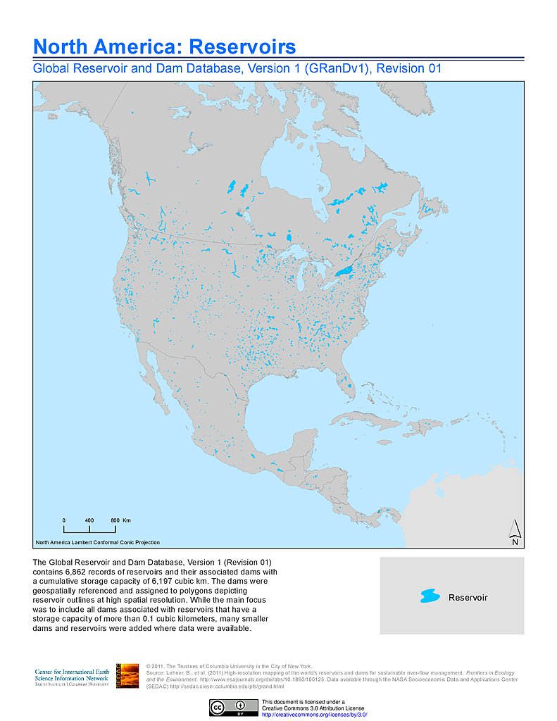
Reservoirs, v1.01: North America
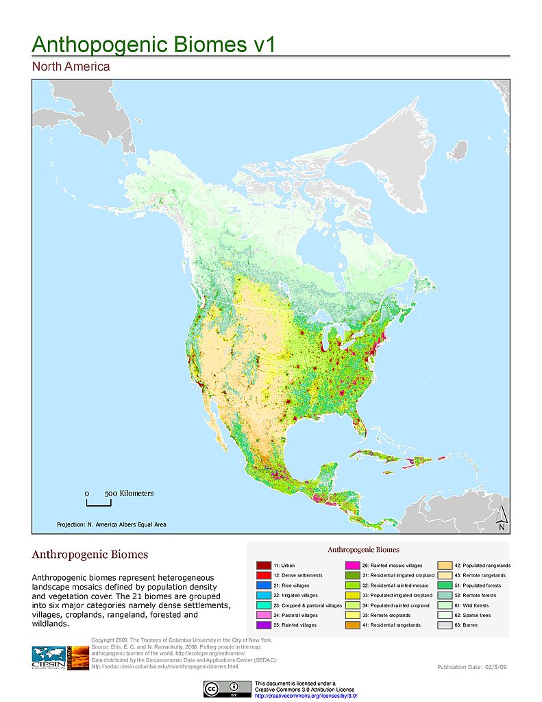
Anthropogenic Biomes, v1: North America
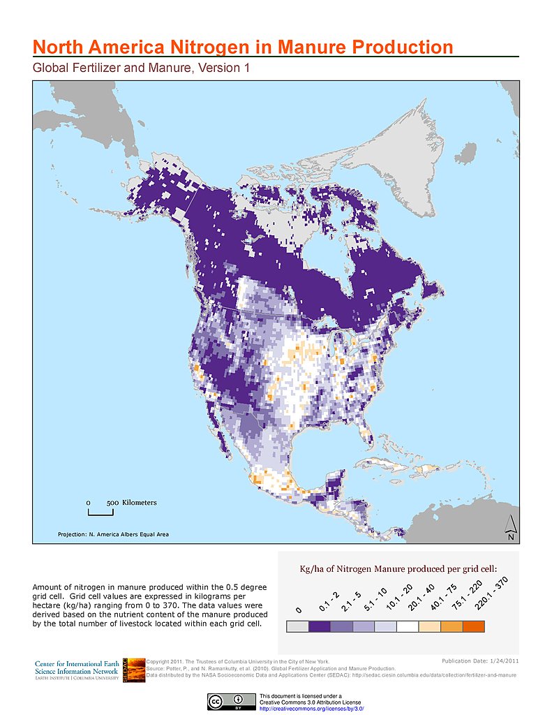
Nitrogen in Manure Production: North America
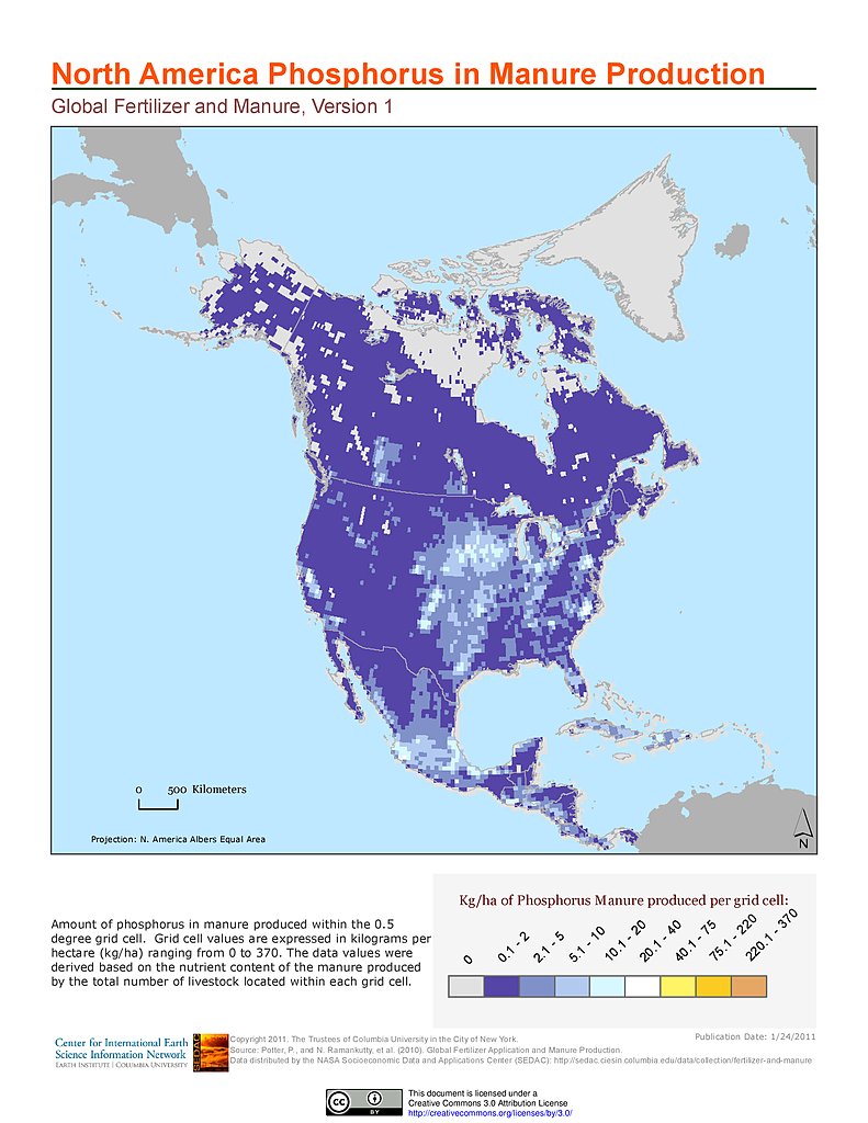
Phosphorus in Manure Production: North America
Human Footprint Index, v2: North America
Human Influence Index, v2: North America
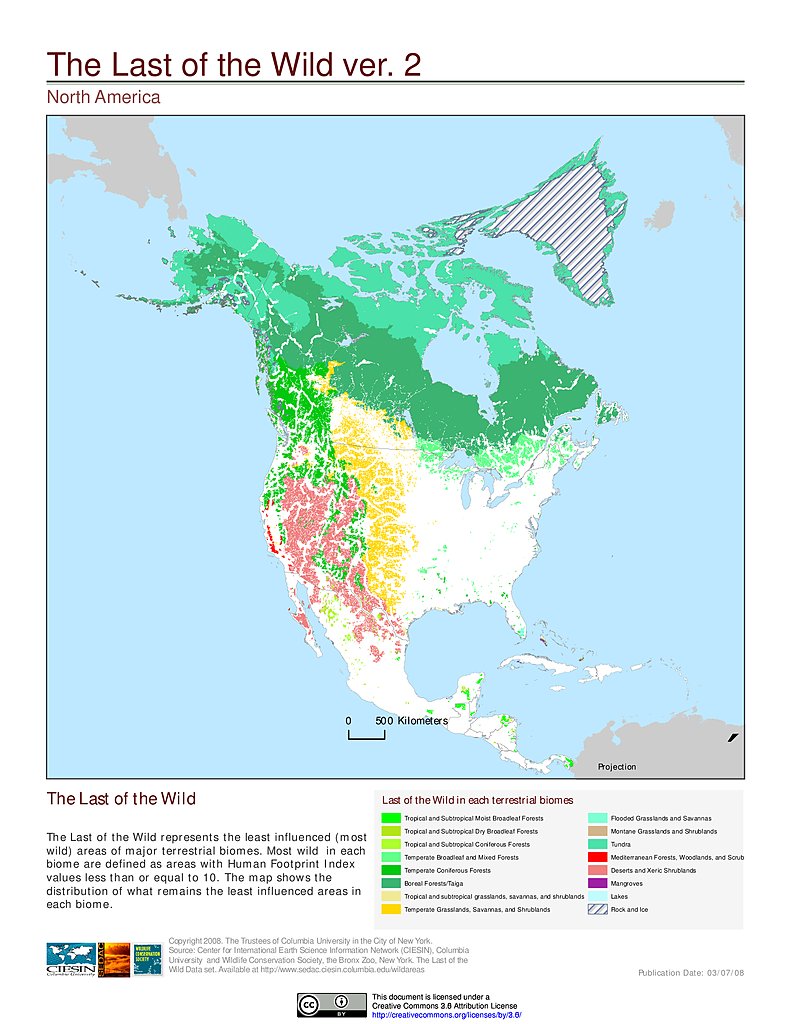
Last of the Wild, v2: North America
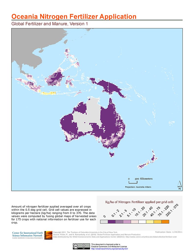
Nitrogen Fertilizer Application: Oceania
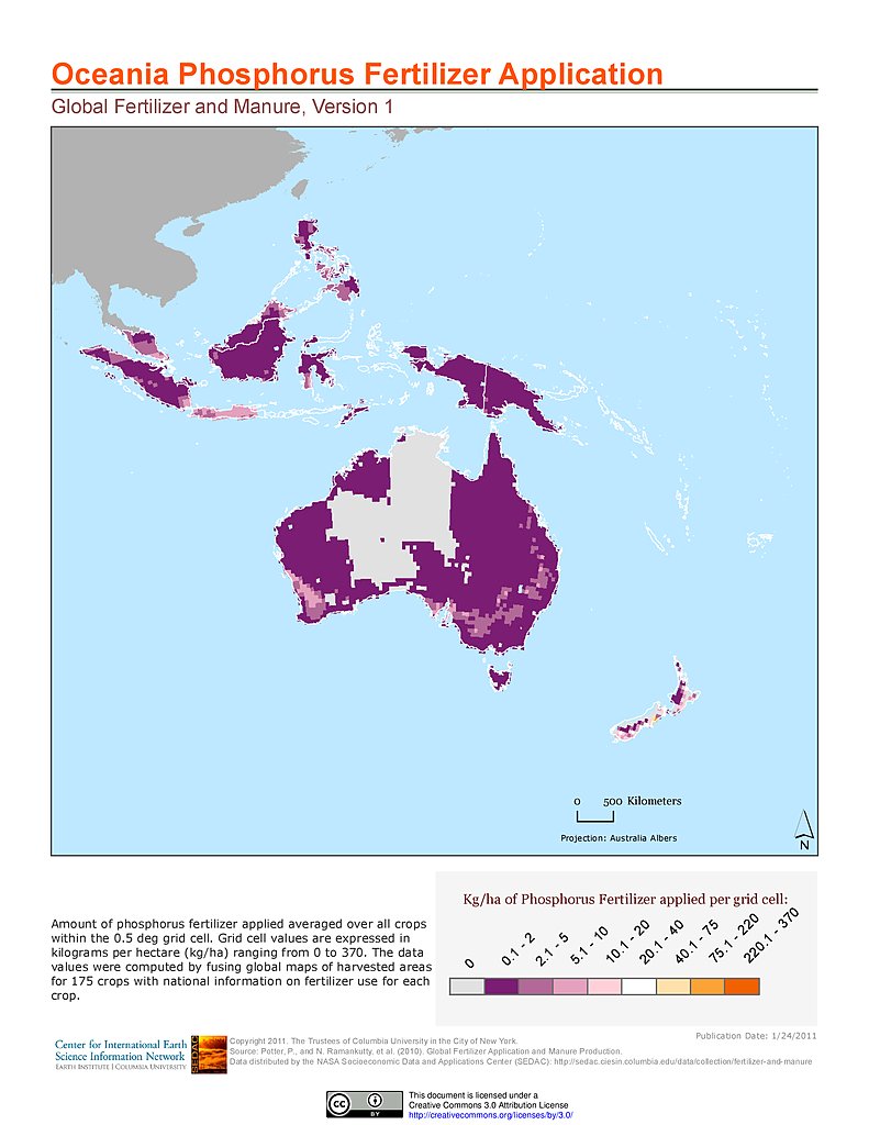
Phosphorus Fertilizer Application: Oceania
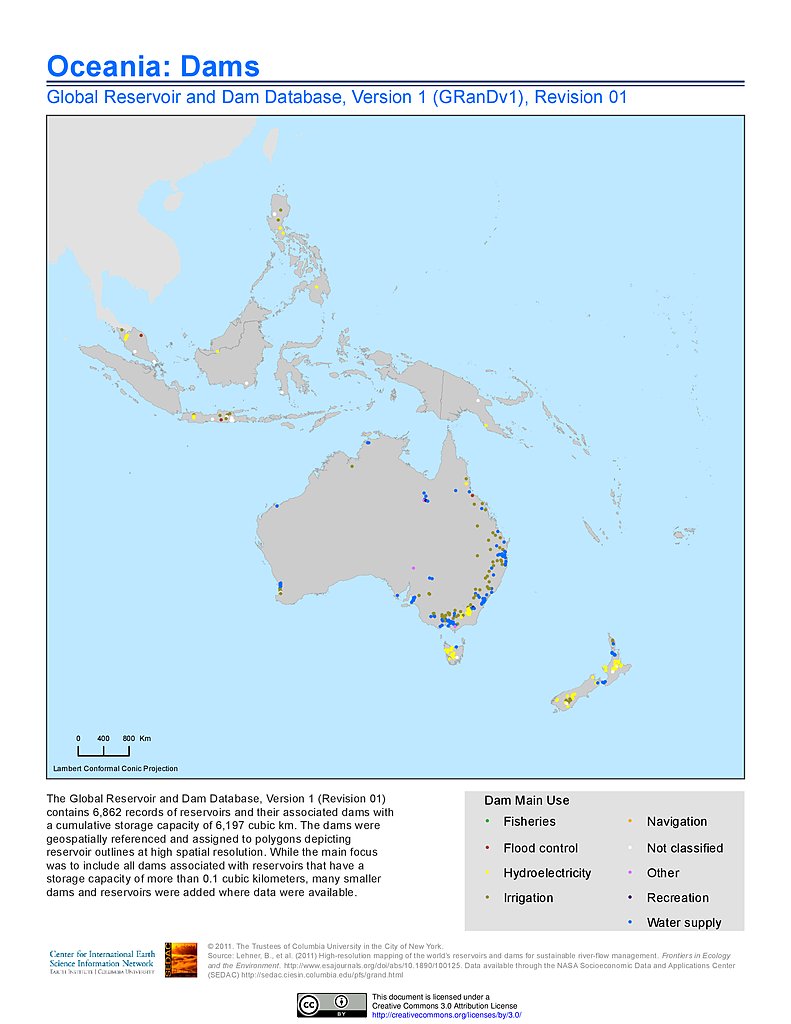
Dams, v1.01: Oceania
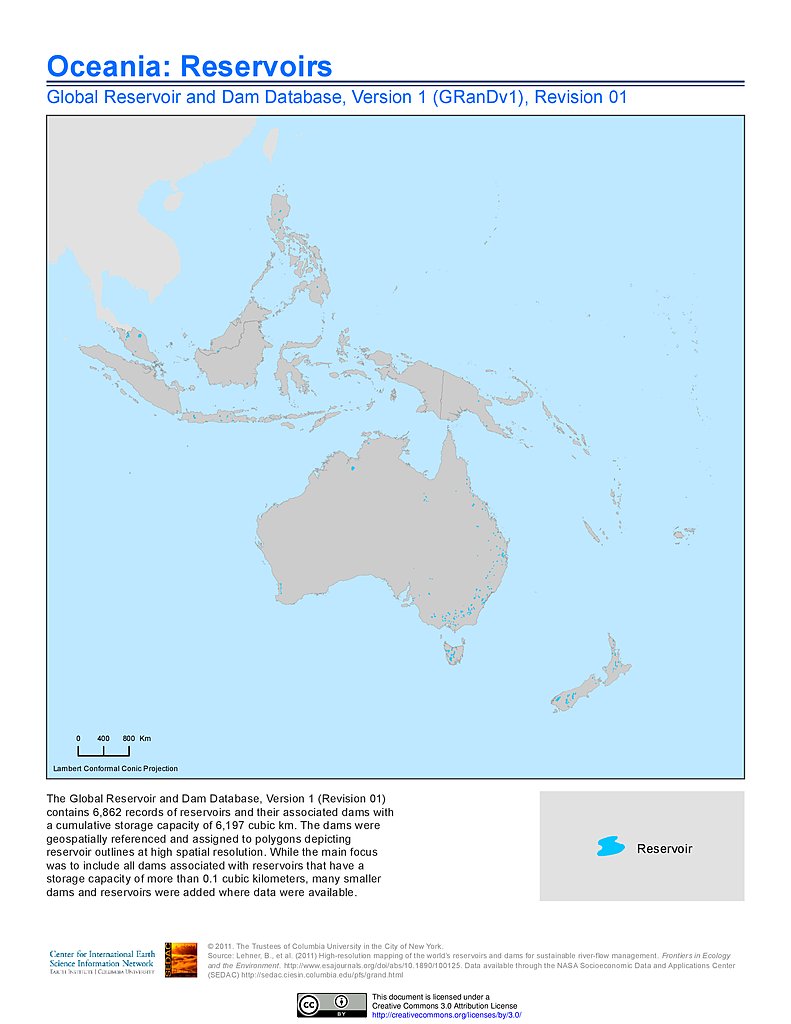
Reservoirs, v1.01: Oceania
Anthropogenic Biomes, v1: Oceania
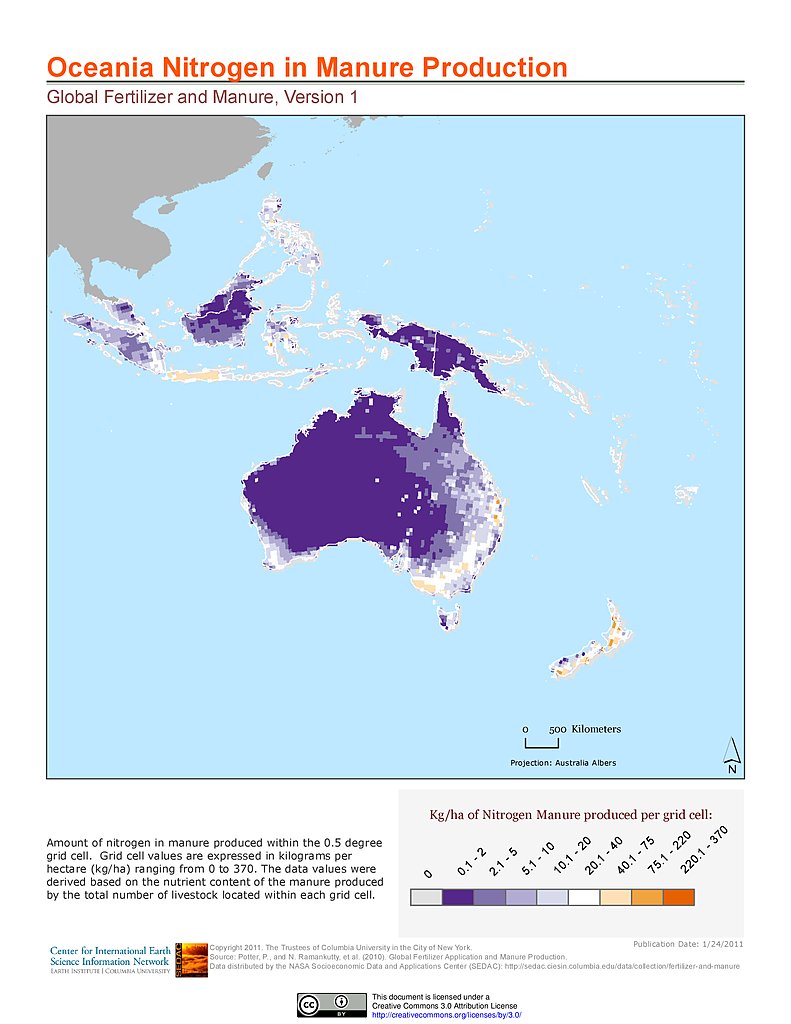
Nitrogen in Manure Production: Oceania
Phosphorus in Manure Production: Oceania
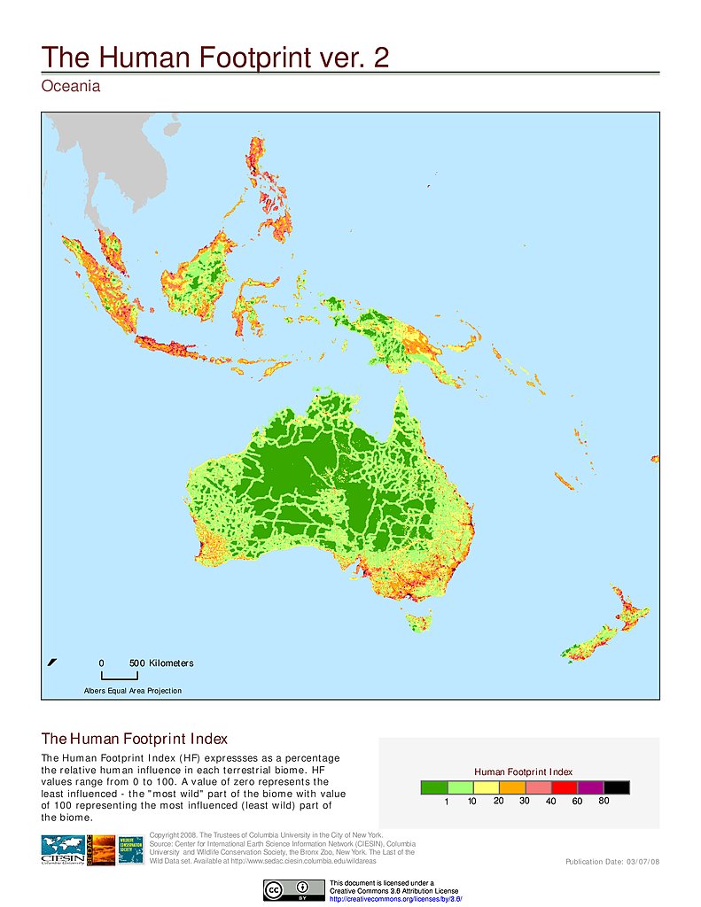
Human Footprint Index, v2: Oceania
Maps
»
Theme: Land Use
Remove Facet
8 of 10
Prev
|
Next