NASA Website Socioeconomic Data and Applications Center (sedac)
A Data Center in NASA's Earth Observing System Data and Information System (EOSDIS) — Hosted by CIESIN at Columbia University
Data
  • Data Sets
  • Maps
  • Web Pages
  • home
  • Data
    • · Data Sets
    • · Data Collections
    • · Featured Data Uses
    • · Data Citations
    • · Citations Database
    • · Data Submission
  • Maps
    • · Map Gallery
    • · Map Viewer
    • · Map Services
    • · Mapping Tools
  • Themes
    • · Agriculture
    • · Climate
    • · Conservation
    • · Governance
    • · Hazards
    • · Health
    • · Infrastructure
    • · Land Use
    • · Marine and Coastal
    • · Population
    • · Poverty
    • · Remote Sensing
    • · Sustainability
    • · Urban
    • · Water
  • Resources
    • · Guides
    • · Multimedia
    • · Networks
    • · News
    • · Publications
    • · Related Sites
    • · Remote Sensing
    • · Tools
  • Social Media
    • · Twitter
    • · FaceBook
    • · YouTube
    • · Flickr
    • · Blog Posts
    • · Communities
  • About
    • · About SEDAC
    • · User Working Group
    • · Privacy
    • · User Registration
  • Help
 

Biodiversity Conservation and Protected Areas

Follow Us: Twitter Follow Us on Facebook YouTube Flickr   |   Share: Twitter Facebook
  • Theme Home
  • Data Sets
  • Map Gallery
  • Map Services
  • Featured Data Uses
  • Resources
    • Guides
    • Multimedia
    • Networks
    • News
    • Related Sites
    • Remote Sensing

Human Impacts Drive Global Tree Cover Patterns

Nature Communications – January 7, 2014
Human Impacts Drive Global Tree Cover Patterns

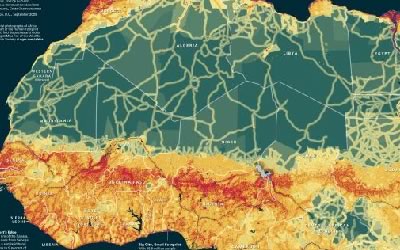
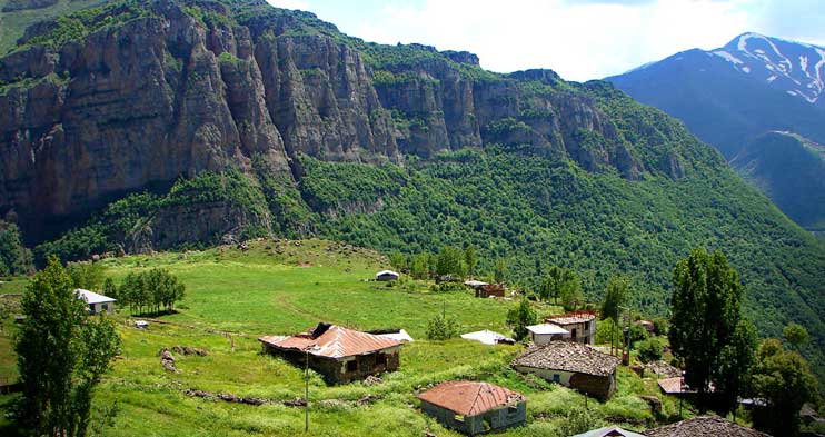
Human impacts have resulted in a global tendency for tree cover to be constrained to sloped terrain and losses to be concentrated on flat terrain. This effect, which the researchers quantify using NASA’s Moderate Resolution Imaging Spectroradiometer (MODIS) and Shuttle Radar Topography Mission (SRTM) satellite instruments, increases in strength with increasing human pressure, as measured by SEDAC’s Human Influence Index data set. It is most pronounced in countries with rapidly growing economies, limited human population stress, and highly effective governments, as defined in SEDAC’s Environmental Sustainability Index. By combining these measures of human influence with the remote sensing of trees, the researchers show how interactions between local topographic conditions and human impacts control tree cover distribution.

Africa Human Footprint Map

National Geographic – May 19, 2011
National Geographic Africa Human Footprint

A map of SEDAC′s the Human Footprint illustrates the extent to which Africa′s land area is influenced by humans.

Decline of Forest Elephants in Central Africa

PLoS ONE – June 21, 2013
Elephnat Declines

A recent survey of African forest elephants has revealed a startling reduction in that animal's population and geographic range over the past decade.  Human population density, as measured by SEDAC's Gridded Population of the World (GPW v3) data set, and nearness to human infrastructure, as indicated by SEDAC's Human Influence Index (HII v2), are two of the strongest predictors of that decline along with hunting intensity, poor governance and absence of law enforcement.

Scorecard on the Environment

NASA Earth Data Web Site – December 1, 2007
Scorecard on the Environment

Sensing Our Planet: NASA Earth Science Research Features 2008 features an article on how SEDAC data was used for the 2008 Environmental Performance Index and other environmental assessments; CIESIN’s Marc Levy is interviewed.

Home | Data | Data Uses | Data Citations | Maps | Map Services

News | Tools | Guides | Publications | Blog Posts

About | Help | Privacy | User Registration

Copyright © 1997–2023. The Trustees of Columbia University in the City of New York.

WDS ICSU