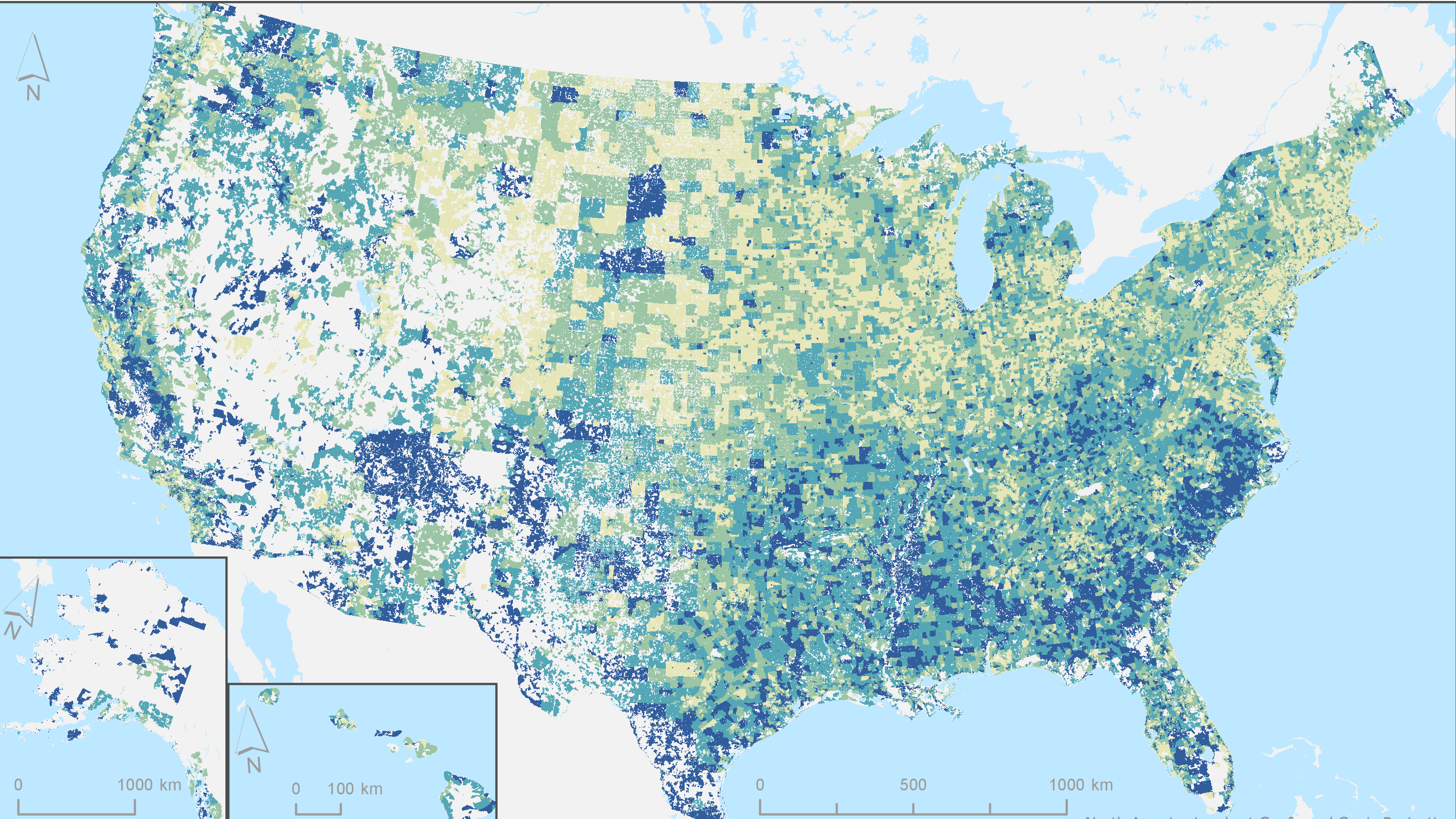
Part One of a two-part training by NASA’s Applied Remote Sensing Training Program (ARSET), “Introduction to Population Grids and their Integration with Remote Sensing Data for Sustainable Development and Disaster Management,” held March 30 and April 6, 2021. It was organized by CIESIN research scientist Susana Adamo on behalf of NASA’s Socioeconomic Data and Applications Center (SEDAC) and the POPGRID Data Collaborative. Part One,“Introduction to Population Grids and Their Uses,” introduces the POPGRID Data Collaborative, the origins of gridding, and its evolution to present day application areas in health, humanitarianism, development, and disaster risk reduction. 90-minute recording, Q and A transcript, and presentation slides are available.

