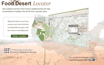
This interactive map tool and associated data set lets users map low-income areas having high-density populations that lack good access to nutritious food (“food deserts”). Census tract-level statistics for these areas may also be viewed. Satellite imagery provides an optional background in the map viewer. SEDAC’s U.S. Census Grids data are used as a key source for the tool.