NASA Website Socioeconomic Data and Applications Center (sedac)
A Data Center in NASA's Earth Observing System Data and Information System (EOSDIS) — Hosted by CIESIN at Columbia University
Data
  • Data Sets
  • Maps
  • Web Pages
  • home
  • Data
    • · Data Sets
    • · Data Collections
    • · Featured Data Uses
    • · Data Citations
    • · Citations Database
    • · Data Submission
  • Maps
    • · Map Gallery
    • · Map Viewer
    • · Map Services
    • · Mapping Tools
  • Themes
    • · Agriculture
    • · Climate
    • · Conservation
    • · Governance
    • · Hazards
    • · Health
    • · Infrastructure
    • · Land Use
    • · Marine and Coastal
    • · Population
    • · Poverty
    • · Remote Sensing
    • · Sustainability
    • · Urban
    • · Water
  • Resources
    • · Guides
    • · Multimedia
    • · Networks
    • · News
    • · Publications
    • · Related Sites
    • · Remote Sensing
    • · Tools
  • Social Media
    • · Twitter
    • · FaceBook
    • · YouTube
    • · Flickr
    • · Blog Posts
    • · Communities
  • About
    • · About SEDAC
    • · User Working Group
    • · Privacy
    • · User Registration
  • Help
 

Population Distribution and Change

Follow Us: Twitter Follow Us on Facebook YouTube Flickr   |   Share: Twitter Facebook
  • Theme Home
  • Data Sets
  • Map Gallery
  • Map Services
  • Featured Data Uses
  • Resources
    • Guides
    • Multimedia
    • Networks
    • News
    • Publications
    • Related Sites
    • Tools

PERN Webinar: Population, Climate Change, and Food Security

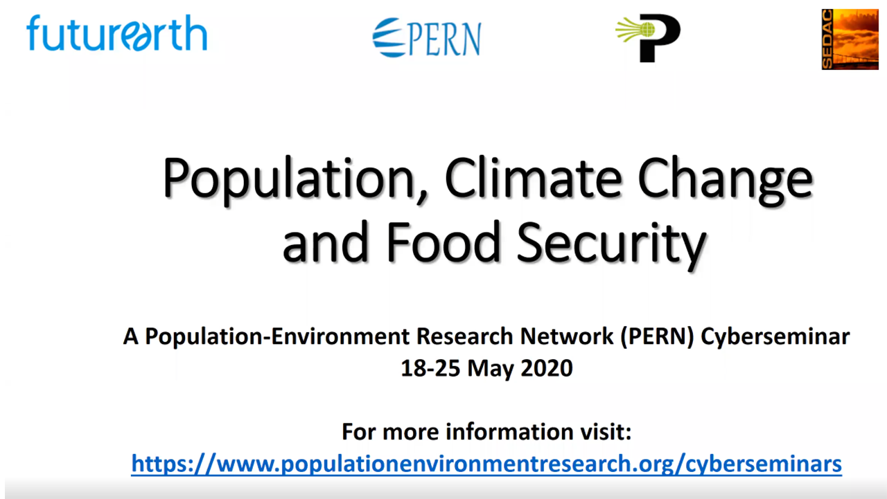
Title Slide for PERN Webinar: Population, Climate Change, and Food Security

This PERN Webinar kicked off the cyberseminar May 18–25, focusing on analysis of the population-climate change-food security nexus using methodological tools and concepts in demography, geography, economics, systems analysis, and other related fields. It was hosted by the International Institute for Applied Systems Analysis (IIASA) and CGIAR Research Program on Climate Change, Agriculture and Food Security (CCAFS) and organized by IIASA, University of Minnesota, CUNY Baruch, CIESIN-Columbia University, Environmental Science for Social Change), Population Council and Asian Population Research Center, and Escola Nacional de Ciências Estatísticas-ENCE. Learn more at https://populationenvironmentresearch.org/cyberseminars.

Research Applications of SEDAC Data

Research Applications of SEDAC Data

This presentation by SEDAC deputy manager Alex de Sherbinin describes research he has conducted either using SEDAC data or to develop SEDAC-disseminated data sets. The lecture was given to the Pennsylvania State University Department of Geography coffee hour in February 2020.

NASA EarthData Webinar—Gridded Population and Settlement Data for Human Dimensions Research

cartoon abstraction shows young woman and young man literally interacting with data

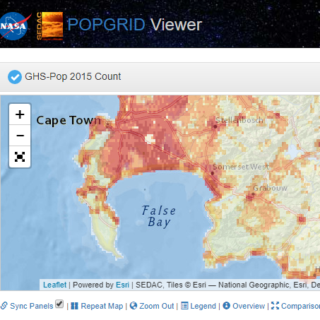
An introduction to the growing diversity of gridded data and overview of approaches, including those that utilize new sources of remote sensing data, and an introduction to the SEDAC POPGRID Viewer, which lets users easily compare data products for their specific regions of interest; under the auspices of the POPGRID Data Collaborative. Part of NASA′s EarthData Webinar Series.

PERN Webinar—Gridded Population & Settlement Products in Geospatial Population-Environment Research

screenshot of cyberseminar title

This “cyberseminar” focuses on various gridded population and settlement data products and their suitability for different application areas in population-environment studies. Hosted by the Population and Environment Research Network (PERN) and organized by CIESIN and the POPGRID Data Collaborative, which is funded by the Bill and Melinda Gates Foundation. 

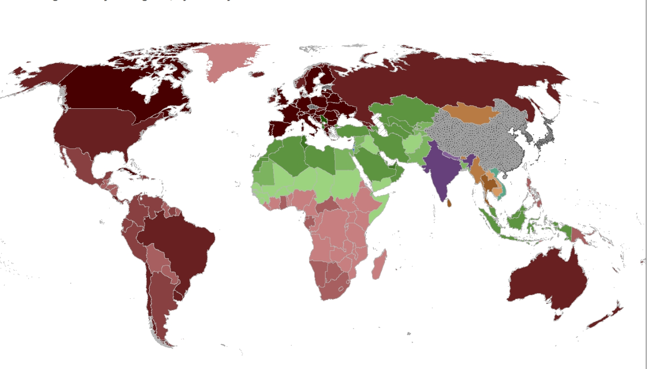
PERN Webinar—Religious Belief and Environmental Challenges in the 21st Century

Map of median age and major religions, by country

How demographic shifts, evolving cultural values and beliefs, and the changing environment may interact is the focus of this “cyberseminar” hosted by the Population and Environment Research Network (PERN) and organized by CIESIN and the Columbia Aging Center. Learn more at https://populationenvironmentresearch.org/cyberseminars/10449.

GMIS and HBASE: Data Products from NASA SEDAC

GMIS and HBASE: Data Products from NASA SEDAC

A brief video introduction to data sets Human Built-up and Settlement Extent (HBASE) and Global Man-made Impervious Surface (GMIS) + how to use the mapping tool to visualizing the data. HBASE and GMIS were produced as a result of a collaboration between the NASA Goddard Space Flight Center and the Department of Geographical Sciences at the University of Maryland, funded through the NASA Land Cover Land Use Change Program.

An Introduction to the NASA Socioeconomic Data and Applications Center

An Introduction to the NASA Socioeconomic Data and Applications Center

An introduction to the data products and services offered by the NASA Socioeconomic Data and Applications Center (SEDAC).

Webinar: People and Pixels Revisited

Cover of the book People and Pixels

This cyberseminar held February 20–27, 2018, looked at key future directions for the integration of remote sensing into social science research, building on the groundbreaking “People and Pixels” volume produced by the National Research Council in 1998. It was organized by the Population-Environment Research Network (PERN), which is hosted by SEDAC and sponsored by the International Union for the Scientific Study of Population  and Future Earth.  

Video: What′s New in GPWv4

Thumbnail image of the video

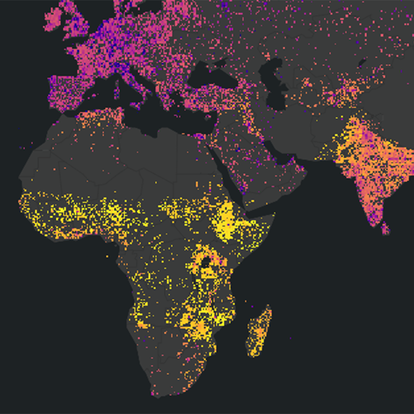
This brief video is an introduction to the most recent update to the NASA SEDAC flagship gridded data product, Gridded Population of the World (GPW), which models the global distribution of human population on a continuous surface. New features of GPWv4 include more recent census data; a smaller grid size; and many more input census units.


Webinar: Rapid Assessment of Hazards—NASA SEDAC Hazard Mapper

Tornado Damage in Moore, OK

A simple, online tool for estimating the population living in proximity to hazardous events as well as human settlements and major facilities such as dams and nuclear power plants. The Hazards Mapper displays near-real-time data on earthquakes, fires, air quality, and, for the U.S., flood and tornado warnings. Part of the monthly NASA Earthdata Webinar Series that highlights NASA EOSDIS data products and data access tools.

Webinar: Discover NASA’s Updated Gridded Population of the World Data

Webinar: Discover NASA’s Updated Gridded Population of the World Data

Gridded Population of the World (GPW) is a global, high-resolution population data collection produced by the NASA Socioeconomic Data and Applications Center (SEDAC). Part of the monthly NASA Earthdata Webinar series that showcases NASA EOSDIS data products and data access tools, this Webinar focuses on the development of GPW, improvements to this fourth version, research and policy applications, and methods. Also available via Adobe Connect.

Video: Mapping Spatial Patterns of Vulnerability in Mali

Video: Mapping Spatial Patterns of Vulnerability in Mali

Using the results of a climate vulnerability mapping exercise for Mali, West Africa, as an example, this video describes how SEDAC data were integrated with NASA data to produce a decision support tool for the US Agency for International Development (USAID).

Webinar: Explore NASA Socioeconomic Data Using Web Mapping Services

Webinar: Explore NASA Socioeconomic Data Using Web Mapping Services

This overview of integrating socioeconomic and remote sensing data to explore human interactions in the environment is part of the monthly NASA Earthdata Webinar Series that showcases NASA EOSDIS data products and data access tools. Also available via Adobe Connect.

Home | Data | Data Uses | Data Citations | Maps | Map Services

News | Tools | Guides | Publications | Blog Posts

About | Help | Privacy | User Registration

Copyright © 1997–2021. The Trustees of Columbia University in the City of New York.

WDS ICSU